


Get to know Hotan County
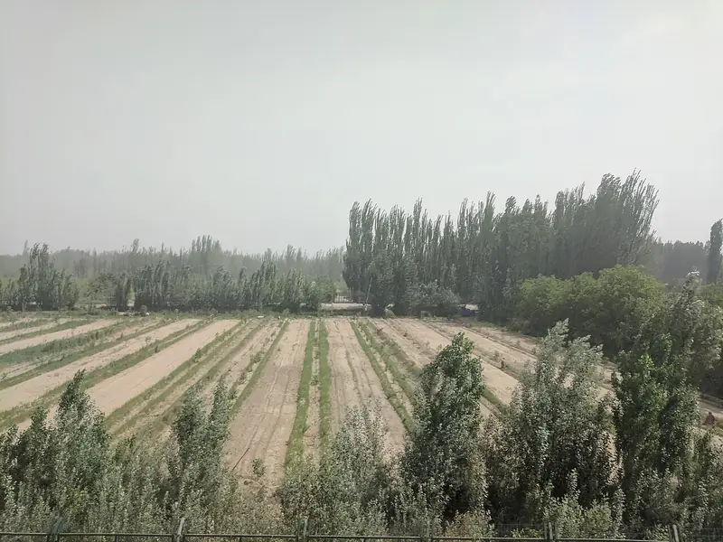
Photo adjustments
Full frame retained; EXIF orientation normalized, proportionally resized to at most 800 pixels and converted to WebP. No generated pixels or subject changes. Cards may crop the display.
- Administrative area
- County · 县
- Part of
- Hotan Prefecture
- Chinese name
- 和田县
- Local areas
- County guide
Area & population
- Area in the source
- 41,128.00 km²
- Population · 2020
- 342,603
- Administrative seat
- Gujanbagh Subdistrict, Hotan City
Source: cited geographic source, as of the dates shown.
A recreated urban setting
Yotkan’s cultural tourism project stands in Bagqi Town (巴格其镇). Red walls, white aywan houses (阿以旺民居) and recreated historic structures frame painted corridors, brick carving and woodwork. Exhibitions include a jade-culture hall, a Yuchi royal-family hall (尉迟王族馆) and displays of ancient Khotan (于阗). Craft experiences cover carpet making, atlas-silk dyeing (艾德莱斯绸印染) and mulberry-bark papermaking. Its performances draw on stories including Ban Chao (班超) and the princess who brought silk.
Islands on the Karakash River
Uluwati lies on the middle reaches of the Karakash River (喀拉喀什河), the western branch of the Hotan River (和田河). Eroded low mountains surround the blue reservoir. Small islands at its southern end support vegetation and attract grey cranes, wild ducks and geese.
Sources for this guide
2026年和田县A级旅游景区简介_旅游_和田县人民政府 · Hotan County Culture and Tourism Bureau
乌鲁瓦提风景区_热门景点_和田县人民政府 · Hotan County Culture and Tourism Bureau
Original English written from the listed sources and checked sentence by sentence against quoted extracts by a separate reviewer. Updated 2026-09-27.
Explore Hotan County
Core places to explore, with English and Chinese names.
Hotan County 和田县
Plan your visit
Getting there
Hotan County is about 8 km in a straight line from central Hotan Prefecture. Search for 和田县 in a map app to find stations and your accommodation.
Where to stay →More in Hotan Prefecture
Sources & geographic information
Administrative names and parent areas: Official geographic directory · Reference date 2026-09-06.
Map data © OpenStreetMap contributors. Pins mark approximate centres, not entrances or boundaries.