


Get to know Yiliang County
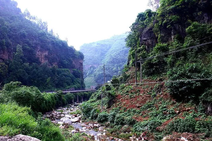
Photo adjustments
Full frame retained; proportionally resized and converted to WebP. No retouching or changes to the photographed subject. Card displays may crop the view.
- Administrative area
- County · 县
- Part of
- Kunming
- Chinese name
- 宜良县
- Local areas
- County guide
Area & population
- Area in the source
- 1,880.00 km²
- Population · 2020
- 384,875
Source: cited geographic source, as of the dates shown.
A temple moved in 1785
The present temple location dates from a relocation in 1785. The complex faces south, with buildings arranged symmetrically along a north–south axis. Its surviving structures include Datong Gate (大同门), Zhuangyuan Bridge (状元桥), the Pan Pool (泮池), Dacheng Hall (大成殿), Chongsheng Shrine (崇圣祠) and Zunjing Pavilion (尊经阁).
Rooflines and carved stone
Dacheng Hall has a projecting front corridor, a lifted-beam timber structure and a roof laid with mixed-colour glazed tiles. Zunjing Pavilion is square, with bracket-supported eaves and a double-eaved pyramidal roof. Stone qilin (麒麟), ornamental huabiao columns (华表) and inscriptions add detail along the temple’s central axis.
Sources for this guide
宜良:山水形胜间的自然地理“活档案”_宜良县人民政府 · Yiliang County People’s Government
宜良文庙_宜良县人民政府 · Yiliang County Culture and Tourism Bureau / County People’s Government
Original English written from the listed sources and checked sentence by sentence against quoted extracts by a separate reviewer. Updated 2026-09-27.
Explore Yiliang County
Core places to explore, with English and Chinese names.
Places to explore around Yiliang County
 A stone bridge spanning a limestone gorge at the entrance to the Jiuxiang Scenic Region, Yiliang ·
 Plan your visit
Getting there
Yiliang County is about 45 km in a straight line from central Kunming. Search for 宜良县 in a map app to find stations and your accommodation.
Where to stay →Build your route
Start with Jiuxiang Scenic Area. The linked place guides have entrance and visit details.
Continue with Kunming →More in Kunming
Sources & geographic information
Administrative names and parent areas: Official geographic directory · Reference date 2026-09-06.
Photo: Jiuxiang Scenic Area · mayanming · CC BY-SA 3.0. Full frame retained; proportionally resized and converted to WebP. No retouching or changes to the photographed subject. Card displays may crop the view.

Map data © OpenStreetMap contributors. Pins mark approximate centres, not entrances or boundaries.