


Get to know Jinning District

Photo adjustments
Full frame retained; proportionally resized and converted to WebP. No retouching or changes to the photographed subject. Card displays may crop the view.
- Administrative area
- District · 市辖区
- Part of
- Kunming
- Chinese name
- 晋宁区
- Local areas
- District guide
Area & population
- Area in the source
- 1,230.86 km²
- Population · 2020
- 346,268
Source: cited geographic source, as of the dates shown.
Ancient settlements and a navigator’s birthplace
Shizhaishan tombs (石寨山古墓群), the Hebosuo site (河泊所遗址) and Gucheng Village site (古城村遗址) are major archaeological discoveries associated with the district’s past. Zheng He’s birthplace was Hedai Village (和代村), at the foot of Yueshan (月山) in Kunyang (昆阳). He later made seven voyages to the western seas.
Museum interpretation
In summer 2026, Jinning Museum (晋宁博物馆) presented an exhibition tracing Zheng He’s upbringing and voyages through illustrated material, reconstructed scenes and historical objects. Its educational activities included model treasure-ship making, dinosaur-themed learning and rubbing workshops. The district also contains the Xiyang fossil reserve (夕阳古脊椎动物化石自然保护区), which preserves a comparatively complete group of dinosaur footprints.
Sources for this guide
晋宁简介_昆明市晋宁区人民政府 · Jinning District People’s Government
3.8万人次!今年暑假,晋宁博物馆很“热”_昆明市晋宁区人民政府 · Jinning District People’s Government
Original English written from the listed sources and checked sentence by sentence against quoted extracts by a separate reviewer. Updated 2026-09-27.
Explore Jinning District
Core places to explore, with English and Chinese names.
Places to explore around Jinning District
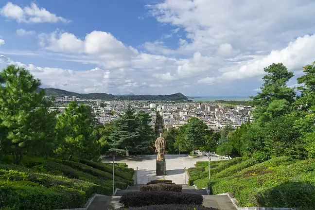 Zheng He Park ·
 Plan your visit
Getting there
Jinning District is about 45 km in a straight line from central Kunming. Search for 晋宁区 in a map app to find stations and your accommodation.
Where to stay →Build your route
Start with Zheng He Park. The linked place guides have entrance and visit details.
Continue with Kunming →More in Kunming
Sources & geographic information
Administrative names and parent areas: Official geographic directory · Reference date 2026-09-06.
Photo: Zheng He Park · Kcx36 · CC BY-SA 4.0. EXIF orientation normalized; resized without changing aspect ratio; converted to WebP. No subject edits.

Map data © OpenStreetMap contributors. Pins mark approximate centres, not entrances or boundaries.