


Get to know Jiangcheng Hani and Yi Autonomous County
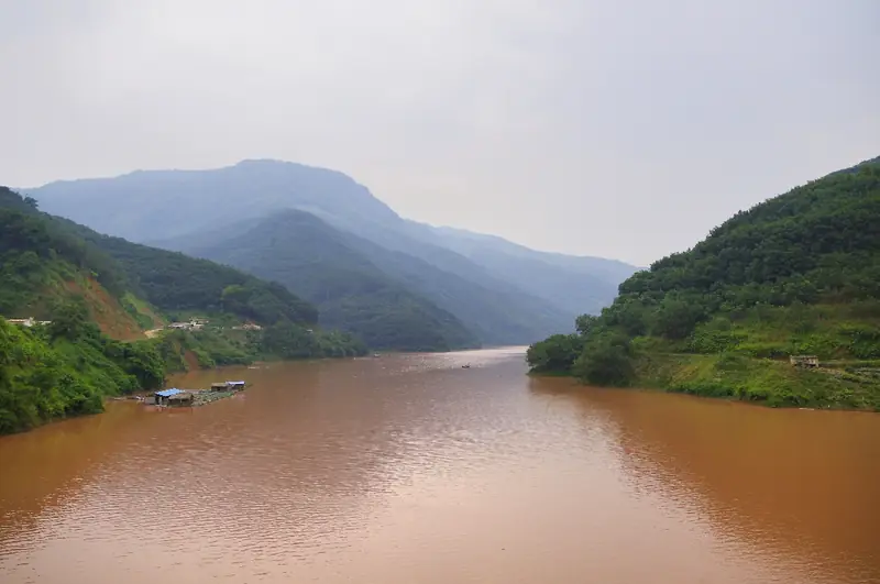
Photo adjustments
EXIF orientation normalized; resized without changing aspect ratio; converted to WebP. No subject edits.
- Administrative area
- Autonomous county · 自治县
- Part of
- Pu'er
- Chinese name
- 江城哈尼族彝族自治县
- Local areas
- Autonomous county guide
Area & population
- Area in the source
- 3,476.00 km²
- Population · 2020 census
- 111,033
Source: cited geographic source, as of the dates shown.
Rivers and tea history
The autonomous county was established on 18 May 1954. It was once an important distribution centre for Pu’er tea, which travelled downstream by boat along the Lixian River. Tea, coffee, macadamia nuts and rubber are among the crops grown here.
Dai villages and weaving
Chengzi Sanzhai (城子三寨), in Zhengdong Town (整董镇), belongs to the first list of China’s traditional villages. Dai brocade weaving continues here on traditional wooden-frame looms. Weaver Zhao Zhen (赵珍), a municipal intangible cultural heritage representative inheritor, makes brocade at her teaching workshop; local weaving workshops also produce bags, shawls and clothing. Shiceng Dashan (十层大山) is a named mountain landscape at the junction of the three countries.
Sources for this guide
江城概况-江城哈尼族彝族自治县人民政府 · Jiangcheng County Government
遇见非遗丨傣族织锦-江城哈尼族彝族自治县人民政府 · Jiangcheng County Government; Zhengdong Town
Original English written from the listed sources and checked sentence by sentence against quoted extracts by a separate reviewer. Updated 2026-09-30.
Explore Jiangcheng Hani and Yi Autonomous County
Core places to explore, with English and Chinese names.
Jiangcheng Hani and Yi Autonomous County 江城哈尼族彝族自治县
Plan your visit
Getting there
Jiangcheng Hani and Yi Autonomous County is about 95 km in a straight line from central Pu'er. Search for 江城哈尼族彝族自治县 in a map app to find stations and your accommodation.
Where to stay →More in Pu'er
Sources & geographic information
Administrative names and parent areas: Official geographic directory · Reference date 2026-09-06.
Map data © OpenStreetMap contributors. Pins mark approximate centres, not entrances or boundaries.