


Get to know Zhenyuan Yi, Hani and Lahu Autonomous County
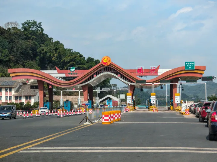
Photo adjustments
Full frame retained; proportionally resized and converted to WebP. No retouching or changes to the photographed subject. Card displays may crop the view.
- Administrative area
- Autonomous county · 自治县
- Part of
- Pu'er
- Chinese name
- 镇沅彝族哈尼族拉祜族自治县
- Local areas
- Autonomous county guide
Area & population
- Area in the source
- 4,223.00 km²
- Population · 2020 census
- 179,503
- Administrative seat
- Enle
Source: cited geographic source, as of the dates shown.
Qianjiazhai forests and waterfalls
Qianjiazhai (千家寨), in the county’s northeastern corner, is a provincial scenic area listed in 1996. Forests, wild tea trees and waterfalls are its defining sights. Dadiaoshui Waterfall (大吊水瀑布) falls in three stages with a total drop of almost 100 metres. Xiaodiaoshui Waterfall (小吊水瀑布) spreads in a fan down a sloping rock face, dropping nearly 50 metres. The Dulu River (嘟噜河) winds through forest and alternates between waterfalls and pools.
The county town
Enle (恩乐) is the county seat. The town includes the Enle River (恩乐江) leisure area, Wuliang Park (无量公园), a theatre and a tea estate themed around ancient tea. Roads meet here on routes linking Pu’er, Yuxi (玉溪) and Lincang (临沧).
Sources for this guide
镇沅概况-镇沅彝族哈尼族拉祜族自治县人民政府网 · Zhenyuan County Government
镇沅旅游胜地之“千家寨”-镇沅彝族哈尼族拉祜族自治县人民政府网 · Zhenyuan County Government
Original English written from the listed sources and checked sentence by sentence against quoted extracts by a separate reviewer. Updated 2026-09-30.
Explore Zhenyuan Yi, Hani and Lahu Autonomous County
Core places to explore, with English and Chinese names.
Places to explore around Zhenyuan Yi, Hani and Lahu Autonomous County
 Qianjiazhai Ancient Tea Tree Visitor Area ·
 Plan your visit
Getting there
Zhenyuan Yi, Hani and Lahu Autonomous County is about 135 km in a straight line from central Pu'er. Search for 镇沅彝族哈尼族拉祜族自治县 in a map app to find stations and your accommodation.
Where to stay →Build your route
Start with Qianjiazhai Ancient Tea Tree Visitor Area. The linked place guides have entrance and visit details.
Continue with Pu'er →More in Pu'er
Sources & geographic information
Administrative names and parent areas: Official geographic directory · Reference date 2026-09-06.
Photo: Qianjiazhai Ancient Tea Tree Visitor Area · Source photographer · License not provided. EXIF orientation normalized; resized without changing aspect ratio; converted to WebP. No subject edits.
Map data © OpenStreetMap contributors. Pins mark approximate centres, not entrances or boundaries.