


Get to know Beilun District
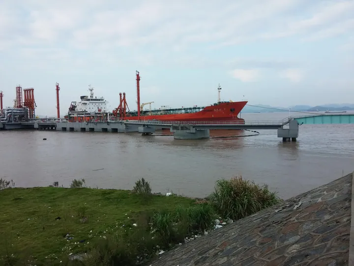
Photo adjustments
Full frame retained; proportionally resized and converted to WebP. No retouching or changes to the photographed subject. Card displays may crop the view.
- Administrative area
- District · 市辖区
- Part of
- Ningbo
- Chinese name
- 北仑区
- Local areas
- District guide
Area & population
- Area in the source
- 599.03 km²
- Population · 2008
- 380,100
Source: cited geographic source, as of the dates shown.
Ports and coastal history
Zongtai Mountain has a Ming-period beacon tower that continued in use during the Qing. Its outlook takes in shipping channels, islands and port activity. The port museum covers port history, modern port knowledge, underwater archaeology and local historical remains. At Yangshashan (洋沙山), red rocks and reefs form a contrasting coastal landscape.
Forest paths inland
Jiufeng Mountain’s scenic paths pass woodland, streams, waterfalls and bamboo. Nearby walking areas include tea gardens, reservoirs and rural scenery. These wooded routes provide a different perspective on a district otherwise closely associated with ships and sea views.
Explore Beilun District
Core places to explore, with English and Chinese names.
Beilun District 北仑区
Plan your visit
Getting there
Beilun District is about 20 km in a straight line from central Ningbo. Search for 北仑区 in a map app to find stations and your accommodation.
Where to stay →More in Ningbo
Sources & geographic information
Administrative names and parent areas: Official geographic directory · Reference date 2026-09-06.
Map data © OpenStreetMap contributors. Pins mark approximate centres, not entrances or boundaries.