


Get to know Zhenghe County
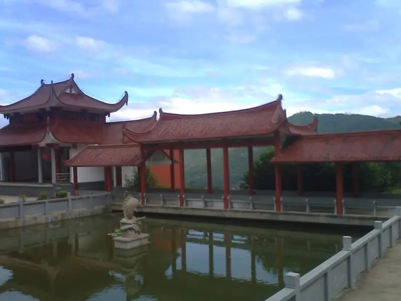
Photo adjustments
EXIF orientation normalized; resized without changing aspect ratio; converted to WebP. No subject edits.
- Administrative area
- County · 县
- Part of
- Nanping
- Chinese name
- 政和县
- Local areas
- County guide
Area & population
- Area in the source
- 1,735.00 km²
- Population · 2009
- 221,537
Source: cited geographic source, as of the dates shown.
Setting and landscape
The northern Jiufeng range (鹫峰山脉) runs for 46.5 km through the middle and east of the county and divides its rivers; most of its summits exceed 1,200 m, and the highest, Xianglu Jian (香炉尖), reaches 1,597 m. The other main range is the Jinfeng (金峰山脉), an outlier of the Wuyi Mountains. Streams drain three ways: to the Min River (闽江), to the Huotong Stream (霍童溪) and to the Jiaoxi (交溪). The largest river is the Songxi (松溪).
Neighbours are Shouning (寿宁县) and Zhouning (周宁县) to the east, Jian'ou (建瓯市) and Pingnan (屏南县) to the south, Jianyang (建阳) to the west, and Songxi County (松溪县) and Zhejiang's Qingyuan County (庆元县) to the north.
History
A town called Guanli (关隶镇) was set up in 941 and became Guanli County in 1000, with its seat at the foot of Huangxiong Mountain (黄熊山), where the county town still stands. In 1115 it was renamed Zhenghe, after the reign title of the Song emperor Huizong (宋徽宗), because it had sent Silver Needle (白毫银针) tea as tribute. In 1455 its eastern districts were split off to form Shouning County. Zhenghe and Songxi were twice merged as Songzheng County (松政县), in 1960–1962 and 1970–1975.
In the Northern Song the county official Zhu Song (朱松) set up the Xingxi and Yungen academies, and his son Zhu Xi (朱熹) often taught at Yungen.
What to see
Fozishan (佛子山), in Waitun Township (外屯乡) on the west side of the Jiufeng range, is both a national scenic area and a national geopark. Donggong Mountain (洞宫山) is a provincial scenic area; Baoyan (宝岩) and the terraced fields of Nianshan (念山梯田) are also listed among the county's sights.
In Yangyuan Township (杨源乡) in the south-east, an amateur troupe keeps up Siping opera (四平戏), which county records say reached Zhenghe at the end of the Ming or start of the Qing; it joined the first national intangible-heritage list on 20 May 2006.
Food and local products
Zhenghe white tea (政和白茶) is a national geographical-indication product, and the county's Zhenghe Gongfu (政和工夫) black tea is a registered well-known trademark. Other titles the county holds are 'home of the chinquapin (锥栗)' and 'city of bamboo crafts'.
Highlights
- Fozishan 佛子山: National scenic area and national geopark in Waitun Township.
- Siping opera 四平戏: Performed in Yangyuan Township; on the first national intangible-heritage list in 2006.
- Zhenghe white tea 政和白茶: National geographical-indication product; the county's name comes from a 1115 tea tribute.
Sources for this guide
地理环境 - 政和县人民政府 · Zhenghe County People's Government
建制沿革 - 政和县人民政府 · Zhenghe County People's Government
杨源乡 - 乡镇概况 · Zhenghe County People's Government
外屯乡 - 乡镇概况 · Zhenghe County People's Government
政和县 - 维基百科,自由的百科全书 · Wikipedia (Chinese) · CC BY-SA 4.0
Original English written from the listed sources and checked sentence by sentence against quoted extracts by a separate reviewer. Updated 2026-09-23.
Explore Zhenghe County
Core places to explore, with English and Chinese names.
Places to explore around Zhenghe County
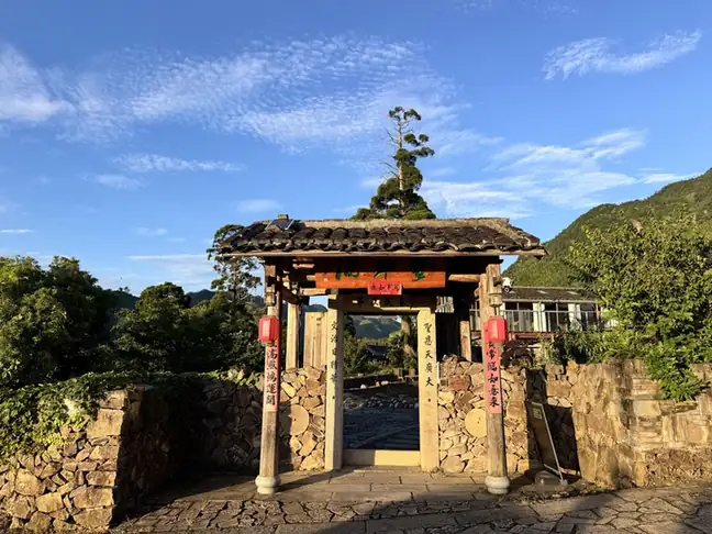 Fozi Mountain ·
 Plan your visit
Getting there
Zhenghe County is about 105 km in a straight line from central Nanping. Search for 政和县 in a map app to find stations and your accommodation.
Where to stay →Build your route
Start with Fozi Mountain. The linked place guides have entrance and visit details.
Continue with Nanping →More in Nanping
Sources & geographic information
Administrative names and parent areas: Official geographic directory · Reference date 2026-09-06.
Some facts checked against 政和县 — Wikipedia contributors, CC BY-SA 4.0.
Photo: Fozi Mountain · Source photographer · License not provided. EXIF orientation normalized; resized without changing aspect ratio; converted to WebP. No subject edits.
Map data © OpenStreetMap contributors. Pins mark approximate centres, not entrances or boundaries.