


Get to know Kedong County
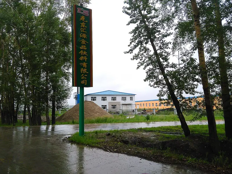
Photo adjustments
Full frame retained; EXIF orientation normalized, proportionally resized to at most 800 pixels and converted to WebP. No generated pixels or subject changes. Cards may crop the display.
- Administrative area
- County · 县
- Part of
- Qiqihar
- Chinese name
- 克东县
- Local areas
- County guide
Area & population
- Area in the source
- 2,083.00 km²
- Population · 2010
- 264,285
Source: cited geographic source, as of the dates shown.
Setting and landscape
The county borders Bei'an (北安市) to the east, Keshan County (克山县) to the west, Baiquan County (拜泉县) to the south and Wudalianchi (五大连池市) to the north. The land rolls in low hills and gentle ridges, higher in the north, and includes lava hills. Two seasonal rivers, the Wuyur (乌裕尔河) and the Runjin (润津河), flow through the county. Black soil covers 73 percent of the county. Winters are long, dry and severe, summers mild and rainy, and the frost-free season averages 125 days.
History
Finds collected during archaeological work at Erke Mountain in 1979 show people living here four to five thousand years ago. Under the Jin dynasty this was the seat of Puyu Lu, a circuit roughly equal to a modern province, and its administrative city survives as a ruin in Gucheng village (古城村), Jincheng township (金城乡); the site is a national key cultural relics protection unit.
Formal administration came late. In 1907 the Qing opened the land to farmers and set up post stations, one of them on the north bank of the Wuyur River. People regarded two hills south of the station as auspicious, and a market town named Erkeshan grew up as Han Chinese settlers gathered near them. The county government notes that neighbouring Keshan has no mountain of its own: the 'shan' in its name refers to Erke Mountain in Kedong. Kedong became a separate administration in 1929.
What to see
The county government lists Erkeshan Park (二克山公园), the site of the Jin city of Puyu Lu, a Korean ethnic village (鲜族风情村), Zhongde Temple (钟德寺) and three forest parks at the Aihua (爱华), Dongxing (东兴) and Fazhan (发展) forest farms. It also names Lengyan Temple and presents Erke Mountain and Kerketu Mountain (克尔克图山) as Palaeolithic site parks.
Food and local products
Farms here grow non-GM soybeans, maize and potatoes. Kedong fermented bean curd (克东腐乳) and Feihe (飞鹤) dairy products come from the county, and the China Association of Towns of Specialties has named it a home of fermented bean curd, natural soda water, non-GM soybeans and infant formula. Kedong natural soda water received national geographical-indication protection in 2011.
Getting oriented
The county seat, Kedong Town (克东镇), lies 202 kilometres from Qiqihar and 283 kilometres from Harbin. The Qiqihar–Bei'an railway (齐北铁路) and the Nianbei road (碾北公路) cross the county from east to west, and National Highway 202 between Harbin and Heihe runs north to south.
Highlights
- Puyu Lu Ancient City Site 金代蒲峪路故城遗址: Ruins of the seat of a Jin-dynasty circuit in Gucheng village, a national key cultural relics protection unit.
- Erkeshan Park 二克山公园: Park named after Erke Mountain, which gave the old town, and neighbouring Keshan, their names.
- Lengyan Temple 楞严寺: A Buddhist temple the county government names among Kedong's best-known sights.
- Kedong fermented bean curd 克东腐乳: A local product; the county has been named a home of fermented bean curd.
- Kedong natural soda water 克东天然苏打水: Natural soda water under national geographical-indication protection since 2011.
Sources for this guide
克东概况 (Kedong overview) · Kedong County People's Government
建制沿革 (Administrative history) · Kedong County People's Government
魅力克东 (About Kedong) · Kedong County People's Government
Original English written from the listed sources and checked sentence by sentence against quoted extracts by a separate reviewer. Updated 2026-09-24.
Explore Kedong County
Core places to explore, with English and Chinese names.
Kedong County 克东县
Plan your visit
Getting there
Kedong County is about 190 km in a straight line from central Qiqihar. Search for 克东县 in a map app to find stations and your accommodation.
Where to stay →More in Qiqihar
Sources & geographic information
Administrative names and parent areas: Official geographic directory · Reference date 2026-09-06.
Map data © OpenStreetMap contributors. Pins mark approximate centres, not entrances or boundaries.