


Get to know Qianshan District
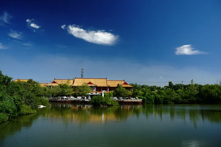
Photo adjustments
Full frame retained; proportionally resized and converted to WebP. No retouching or changes to the photographed subject. Card displays may crop the view.
- Administrative area
- District · 市辖区
- Part of
- Anshan
- Chinese name
- 千山区
- Local areas
- District guide
Area & population
- Area in the source
- 329.00 km²
- Population · 2020 census
- 94,729
Source: cited geographic source, as of the dates shown.
History
The district government traces the area back to the Anshan post fort (鞍山驿堡), built in 1387 under the Ming. It stood midway along the chain of 12 post forts beyond the Shanhai Pass, and the district government calls it the cradle of culture in the Anshan area. The modern district began as Anshan's suburban district in 1960, was renamed Jiubao District (旧堡区) on 30 December 1983, and took the name Qianshan District in 1996. In 1997 three villages of Qianshan town (千山镇) were placed under the Mount Qian scenic area administration (千山风景区管理局).
What to see
The district government calls the Tanggangzi hot spring one of China's four great hot springs, and its hot mineral mud is billed as "Asia's finest mud". The Tanggangzi sanatorium was founded in 1904 and, in the district government's words, was the first hot-spring sanatorium of the new China. In the South Manchuria Railway and Manchukuo era, Chinese Wikipedia notes, the spring was known in the Japanese community as one of the "three great hot springs of Manchuria", and Puyi stayed at Tanggangzi in 1932 while waiting to become head of Manchukuo. Tanggangzi station on the Shenyang–Dalian railway dates from 1899.
Food and local products
The Nanguo pear is a national geographical-indication product, and the Anshan city government names Duizhuangshi village (对桩石村) in Qianshan as its place of origin. The Anshan–Mount Qian pear blossom festival has run for more than 30 years, and Datun town (大屯镇) is a national agricultural town for the pear. The district also calls itself China's largest base for growing and trading clivia (君子兰).
Highlights
- Tanggangzi hot springs 汤岗子温泉: Hot spring with a sanatorium founded in 1904; the district government says its hot mineral mud is billed as "Asia's finest mud".
- Anshan post fort 鞍山驿堡: Ming post fort of 1387, which the district government treats as its historical forerunner.
- Duizhuangshi village 对桩石村: Named by the Anshan city government as the home of the Nanguo pear.
Sources for this guide
千山区概况-千山区简介(右侧栏目-鞍山市千山区人民政府 · Qianshan District People's Government, Anshan
历史沿革-分类概况-鞍山市千山区人民政府 · Qianshan District People's Government, Anshan
千山区 - 维基百科,自由的百科全书 · Chinese Wikipedia · CC BY-SA 4.0
汤岗子温泉 - 维基百科,自由的百科全书 · Chinese Wikipedia · CC BY-SA 4.0
汤岗子站 - 维基百科,自由的百科全书 · Chinese Wikipedia · CC BY-SA 4.0
鞍山市政府新闻办公室召开“梨约鞍山共鉴丰年”2026年南果梨产业发展新闻发布会 · Anshan Municipal People's Government
Original English written from the listed sources and checked sentence by sentence against quoted extracts by a separate reviewer. Updated 2026-09-25.
Explore Qianshan District
Core places to explore, with English and Chinese names.
Qianshan District 千山区
Plan your visit
Getting there
Qianshan District is about 6 km in a straight line from central Anshan. Search for 千山区 in a map app to find stations and your accommodation.
Where to stay →More in Anshan
Sources & geographic information
Administrative names and parent areas: Official geographic directory · Reference date 2026-09-06.
Some facts checked against 千山区 — Wikipedia contributors, CC BY-SA 4.0.
Some facts checked against 汤岗子温泉 — Wikipedia contributors, CC BY-SA 4.0.
Some facts checked against 汤岗子站 — Wikipedia contributors, CC BY-SA 4.0.
Map data © OpenStreetMap contributors. Pins mark approximate centres, not entrances or boundaries.