


Get to know Tai'an County
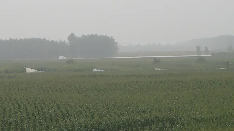
Photo adjustments
Full frame retained; EXIF orientation normalized, proportionally resized to at most 800 pixels and converted to WebP. No generated pixels or subject changes. Cards may crop the display.
- Administrative area
- County · 县
- Part of
- Anshan
- Chinese name
- 台安县
- Local areas
- County guide
Area & population
- Area in the source
- 1,393.00 km²
- Population · 2020 census
- 300,764
- Administrative seat
- Tai'an Town (台安镇)
Source: cited geographic source, as of the dates shown.
Setting and landscape
The land slopes from the north-east towards the south, and summers are hot and wet while winters are cold and dry. Along the Liao River, a stretch of five kilometres above and below the Zhanghuangdi bridge (张荒地大桥) has been laid out as the Liao River culture and tourism zone, with a planned area of 40 square kilometres in Xinkaihe (新开河镇) and Huangshatuo (黄沙坨镇) towns. China Daily lists 35.6 kilometres of embankment-top roads and a wetland park of 1,000 mu within it.
History
The county has more than 2,000 years of administrative history, beginning with Xiandu County (险渎县) under the Western Han. Chinese Wikipedia lists the Shang–Zhou Jiatai site (贾台遗址), the site of Han-dynasty Xiandu, remains of the Ming Great Wall, and the late-Qing house of Zhang Laodao (张老道家宅) among its historic sites. Zhang Xueliang (张学良) was born in Huandong town (桓洞镇), and a memorial hall stands at his birthplace.
What to see
The Zhanghuang old ferry (张荒古渡), south-east of Zhanghuang village in Xinkaihe town, was first built under the Daoguang reign of the Qing. China Daily reports that up to a hundred-odd merchant boats a day called there, that by the late Qing it was the busiest crossing in the county, and that in the Republican era the warlord Zhang Zuolin set up a river police office there. The ferry closed when the Zhanghuangdi Liao River bridge was completed in August 1991; in 2014 a stone square, a wooden gateway and a jetty were built on the site. In 2015 a flower-field project with a planned area of 1,500 mu (100 hectares) was carried out above and below the Dazhang bridge (大张桥), and China Daily says terraced flower beds in the zone bloom from August to October.
Food and local products
Chinese Wikipedia counts the making of Tai'an huoshao (台安火勺), a local food, among the county's intangible cultural heritage, together with willow weaving and the suona kaxi (唢呐咔戏) folk performance.
Highlights
- Zhanghuang old ferry 张荒古渡: Liao River crossing first built in the Daoguang reign and the busiest in the county by the late Qing; a stone square, gateway and jetty were built on the site in 2014.
- Zhang Xueliang birthplace memorial 张学良出生地纪念馆: Memorial at the Huandong town birthplace of Zhang Xueliang.
- Tai'an huoshao 台安火勺: Local food whose making Chinese Wikipedia counts among the county's intangible cultural heritage.
Sources for this guide
台安县 - 维基百科,自由的百科全书 · Chinese Wikipedia · CC BY-SA 4.0
辽河生态景观建设:辽河台安文化旅游区——构建城市休闲后花园 - 中国日报网 · China Daily (Liaoning)
辽河生态景观建设:鞍山台安——辽河文化旅游区展现天人合一绝美画卷 - 中国日报网 · China Daily (Liaoning)
Original English written from the listed sources and checked sentence by sentence against quoted extracts by a separate reviewer. Updated 2026-09-25.
Explore Tai'an County
Core places to explore, with English and Chinese names.
Tai'an County 台安县
Plan your visit
Getting there
Tai'an County is about 60 km in a straight line from central Anshan. Search for 台安县 in a map app to find stations and your accommodation.
Where to stay →More in Anshan
Sources & geographic information
Administrative names and parent areas: Official geographic directory · Reference date 2026-09-06.
Some facts checked against 台安县 — Wikipedia contributors, CC BY-SA 4.0.
Map data © OpenStreetMap contributors. Pins mark approximate centres, not entrances or boundaries.