


Get to know Chencang District
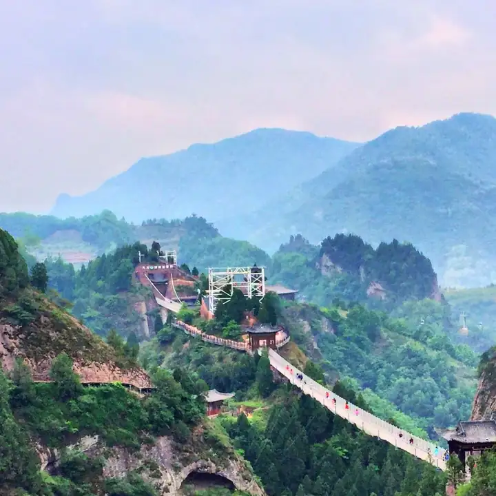
Photo adjustments
EXIF orientation normalized; resized without changing aspect ratio; converted to WebP. No subject edits.
- Administrative area
- District · 市辖区
- Part of
- Baoji
- Chinese name
- 陈仓区
- Local areas
- District guide
Area & population
- Area in the source
- 2,057.00 km²
- Population · 2019
- 602,500
Source: cited geographic source, as of the dates shown.
What to see
Jiulong Mountain lies 45 kilometres from Baoji’s urban area. Its landscape combines wooded slopes, cliffs, peaks and caves, including Yuhuang Cave (玉皇洞), Wuliang Cave (无量洞), Yaowang Cave (药王洞) and Baxian Cave (八仙洞). Lotus Peak (莲花峰), Yaotao Cliff (妖桃崖) and Leishen Pool (雷神池) add other named features. The district government describes the clustered peaks as resembling an opening lotus.
History
Chencang’s earlier county administration moved to Guozhen (虢镇) in November 1949. Its ancient history includes Pingyang (平阳), in the area of modern Yangping Town (阳平镇): the Qin rulers established their capital there in 714 BCE and remained for 37 years. Jiulong Mountain’s historic buildings reflect both Buddhist and Daoist traditions.
Sources for this guide
历史沿革 陈仓区人民政府 · Chencang District Government
九龙山 陈仓区人民政府 · Chencang District Government
大散关 渭滨区人民政府 · Weibin District Government
Original English written from the listed sources and checked sentence by sentence against quoted extracts by a separate reviewer. Updated 2026-09-26.
Explore Chencang District
Core places to explore, with English and Chinese names.
Places to explore around Chencang District
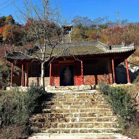 Dasan Pass ·
 Plan your visit
Getting there
Chencang District is about 15 km in a straight line from central Baoji. Search for 陈仓区 in a map app to find stations and your accommodation.
Where to stay →Build your route
Start with Dasan Pass. The linked place guides have entrance and visit details.
Continue with Baoji →More in Baoji
Sources & geographic information
Administrative names and parent areas: Official geographic directory · Reference date 2026-09-06.
Photo: Dasan Pass · Source photographer · License not provided. EXIF orientation normalized; resized without changing aspect ratio; converted to WebP. No subject edits.
Map data © OpenStreetMap contributors. Pins mark approximate centres, not entrances or boundaries.