


Get to know Fufeng County
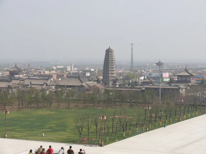
Photo adjustments
Full frame retained; proportionally resized and converted to WebP. No retouching or changes to the photographed subject. Card displays may crop the view.
- Administrative area
- County · 县
- Part of
- Baoji
- Chinese name
- 扶风县
- Local areas
- County guide
History
Excavation of Famen Temple’s underground chamber in 1987 brought to light more than two thousand Tang imperial objects and relics venerated as the Buddha’s finger bones. The offerings included gold and silver vessels, glass, porcelain, jewellery and silk. Eight Tang emperors participated in welcoming or returning the relics during the dynasty.
What to see
Famen’s discoveries include silver tea utensils, a gilded copper pagoda, and a blue glass dish with an eight-petalled pattern associated with early Islamic style. Beyond the temple, Fufeng’s landscape includes Qixing River wetland (七星河湿地) and Yehe Mountain (野河山). The northern Qiao Mountains (乔山) provide a wooded setting, while the county’s fruit-growing areas include apples in the north and kiwifruit in the south.
Sources for this guide
县情简介-扶风县党建 · Fufeng County Party Organisation Department
“地宫宝藏——法门寺唐代宫廷文物精粹特展”在长沙博物馆开展 - 湖南省文化和旅游厅 · Hunan Department of Culture and Tourism
Original English written from the listed sources and checked sentence by sentence against quoted extracts by a separate reviewer. Updated 2026-09-26.
Explore Fufeng County
Core places to explore, with English and Chinese names.
Places to explore around Fufeng County
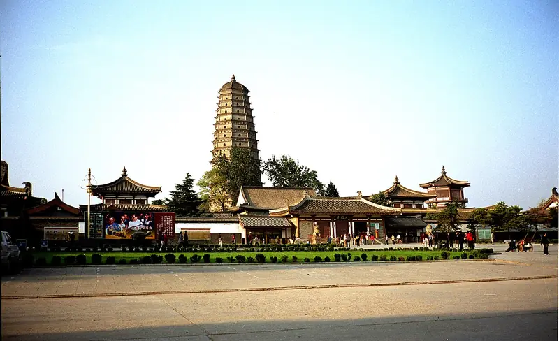 Famen Temple Cultural Scenic Area (
Plan your visit
Getting there
Fufeng County is about 60 km in a straight line from central Baoji. Search for 扶风县 in a map app to find stations and your accommodation.
Where to stay →Build your route
Start with Famen Temple Cultural Scenic Area. The linked place guides have entrance and visit details.
Continue with Baoji →More in Baoji
Sources & geographic information
Administrative names and parent areas: Official geographic directory · Reference date 2026-09-06.
Photo: Famen Temple Cultural Scenic Area · Gisling · CC BY 2.5. Full frame retained; EXIF orientation normalized, proportionally resized to at most 800 pixels and converted to WebP. No generated pixels or subject changes. Cards may crop the display.

Map data © OpenStreetMap contributors. Pins mark approximate centres, not entrances or boundaries.