


Get to know Leibo County
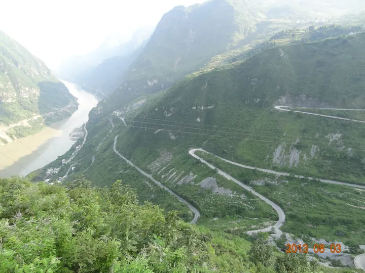
Photo adjustments
Full frame retained; proportionally resized and converted to WebP. No retouching or changes to the photographed subject. Card displays may crop the view.
- Administrative area
- County · 县
- Part of
- Liangshan Yi Autonomous Prefecture
- Chinese name
- 雷波县
- Local areas
- County guide
Area & population
- Area in the source
- 2,932.46 km²
- Population · 2020
- 240,149
- Administrative seat
- Jincheng
Source: cited geographic source, as of the dates shown.
What to see
Mahu covers 7.33 square kilometres of water and reaches a maximum depth of 134 metres. Its scenery includes natural wetlands. On Jingui Island (金龟岛), Hailong Temple’s Menghuo Hall (海龙寺孟获殿) was first built in 1589. The south-facing hall contains three figures in Yi clothing: Meng Huo (孟获) in the centre, his brother Meng You (孟优) to the left, and the adviser Motie (摩铁) to the right. Meng Huo wears a red felt garment and wears a sword at his waist.
Food and local products
Products associated with the lake include silver carp, water-shield, tea and bamboo shoots. The surrounding scenic area also supports tree ferns, dove trees and ginkgo, described in a 2024 Sichuan Online report on local habitat protection.
Sources for this guide
雷波文旅简介 · Leibo County Government Office
三国孟获文化——海龙寺孟获殿 · Leibo County Government Office
凉山攻坚整改雷波马湖景区生态环保问题 守护马湖一湖碧水_四川在线 · Sichuan Online / Chuanguan News
Original English written from the listed sources and checked sentence by sentence against quoted extracts by a separate reviewer. Updated 2026-09-27.
Explore Leibo County
Core places to explore, with English and Chinese names.
Places to explore around Leibo County
 Mahu Lake ·
 Plan your visit
Getting there
Leibo County is about 135 km in a straight line from central Liangshan Yi Autonomous Prefecture. Search for 雷波县 in a map app to find stations and your accommodation.
Where to stay →Build your route
Start with Mahu Lake. The linked place guides have entrance and visit details.
Continue with Liangshan Yi Autonomous Prefecture →More in Liangshan Yi Autonomous Prefecture
Sources & geographic information
Administrative names and parent areas: Official geographic directory · Reference date 2026-09-06.
Photo: Mahu Lake · 雷馬峨屏調查記,常隆慶, 施懷仁, 俞德浚著,中國西部科學院,1935 · Public domain. EXIF orientation normalized; resized without changing aspect ratio; converted to WebP. No subject edits.

Map data © OpenStreetMap contributors. Pins mark approximate centres, not entrances or boundaries.