


Get to know Meigu County
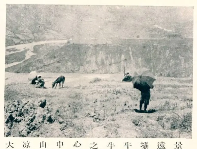
Photo adjustments
EXIF orientation normalized; resized without changing aspect ratio; converted to WebP. No subject edits.
- Administrative area
- County · 县
- Part of
- Liangshan Yi Autonomous Prefecture
- Chinese name
- 美姑县
- Local areas
- County guide
Area & population
- Area in the source
- 2,573.00 km²
- Population · 2020
- 238,624
- Administrative seat
- Bapu Town
Source: cited geographic source, as of the dates shown.
A name and an alliance story
The Meigu Local Chronicles Office traces the name to Mogu (莫古), meaning closeness or affection, from the village name Linmu Mogu (林木莫古). In local tradition, this was where two Yi lineages, Guhou (古侯) and Qunie (曲涅), reunited after migrating from Yunnan (云南). Meigu County was established in April 1952, retaining Mogu in its Chinese transcription. The village name’s first part refers to the Linmu Lili native chieftains (林木利利土司), who governed the area from the Yuan and Ming periods.
Golden pears on the slopes
The Daqiao area (大桥) of Luoe Yigan Township (洛俄依甘乡) grows golden pears (黄金梨) in mountain orchards. Fruit from these orchards reaches markets in Leshan (乐山) and surrounding areas.
Sources for this guide
美姑县情小记_美姑县_凉山州_市县地情_四川地情_四川省情网 · Sichuan Provincial Local Chronicles Office
美姑县政务服务网 通知公告 关于美姑乌金猪申请农产品地理标志登记的受理公示 · Meigu Government Services Portal
美姑县政务服务网 服务要闻 美姑大桥黄金梨迎来丰收上市季 · Meigu Government Services Portal
Original English written from the listed sources and checked sentence by sentence against quoted extracts by a separate reviewer. Updated 2026-09-26.
Explore Meigu County
Core places to explore, with English and Chinese names.
Meigu County 美姑县
Plan your visit
Getting there
Meigu County is about 100 km in a straight line from central Liangshan Yi Autonomous Prefecture. Search for 美姑县 in a map app to find stations and your accommodation.
Where to stay →More in Liangshan Yi Autonomous Prefecture
Sources & geographic information
Administrative names and parent areas: Official geographic directory · Reference date 2026-09-06.
Map data © OpenStreetMap contributors. Pins mark approximate centres, not entrances or boundaries.