


Get to know Naxi District
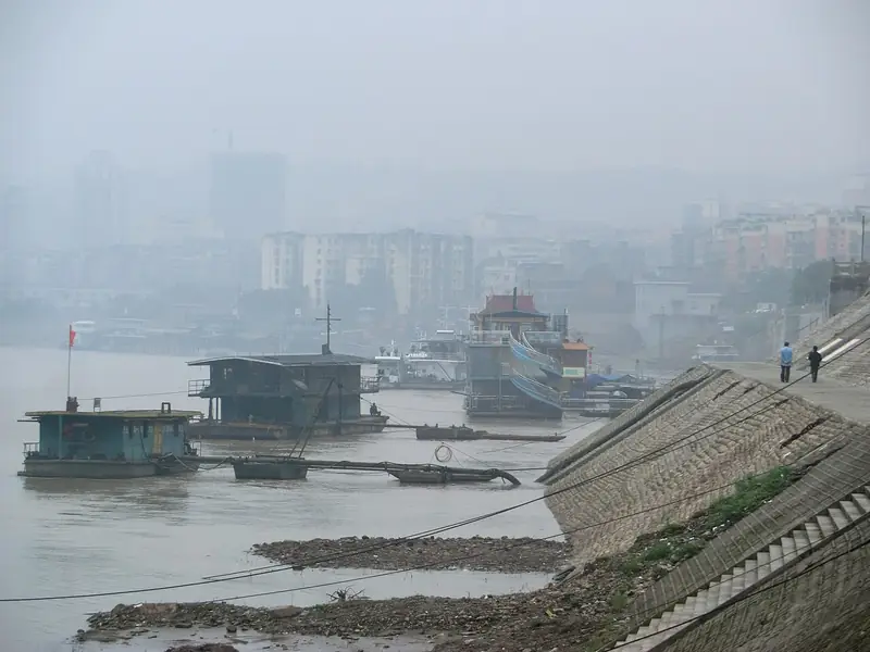
Photo adjustments
Full frame retained; EXIF orientation normalized, proportionally resized to at most 800 pixels and converted to WebP. No generated pixels or subject changes. Cards may crop the display.
- Administrative area
- District · 市辖区
- Part of
- Luzhou
- Chinese name
- 纳溪区
- Local areas
- District guide
Area & population
- Area in the source
- 1,150.60 km²
- Population · 2018
- 469,000
Source: cited geographic source, as of the dates shown.
Bamboo and tree ferns
Dawang Bamboo Sea (大旺竹海) occupies the Dawang area of Baijie Town (白节镇), at nearly 800 metres in elevation. Streams cross this large bamboo landscape. Within it, Suoluo Gully (桫椤沟) shelters tree ferns with umbrella-like crowns; some stand more than four metres high.
Meiling tea
Meiling Tea Mountain (梅岭茶山) connects Naxi with a long tea-growing tradition. The district tourism bureau records Meiling tea as a tribute product in the Qing dynasty (清代). Naxi's tea range includes green teas and jasmine teas, as well as the locally made Chuannan Queshe tea (川南雀舌).
Sources for this guide
走进纳溪_泸州市纳溪区人民政府门户网站 · Naxi District Government
大旺竹海_精品景区_全域景区_全域旅游_泸州市纳溪区人民政府门户网站 · Naxi Culture and Tourism Bureau
梅岭茶山_精品景区_全域景区_全域旅游_泸州市纳溪区人民政府门户网站 · Naxi Culture and Tourism Bureau
Original English written from the listed sources and checked sentence by sentence against quoted extracts by a separate reviewer. Updated 2026-09-26.
Explore Naxi District
Core places to explore, with English and Chinese names.
Naxi District 纳溪区
Plan your visit
Getting there
Naxi District is about 15 km in a straight line from central Luzhou. Search for 纳溪区 in a map app to find stations and your accommodation.
Where to stay →More in Luzhou
Sources & geographic information
Administrative names and parent areas: Official geographic directory · Reference date 2026-09-06.
Map data © OpenStreetMap contributors. Pins mark approximate centres, not entrances or boundaries.