


Get to know Xuyong County
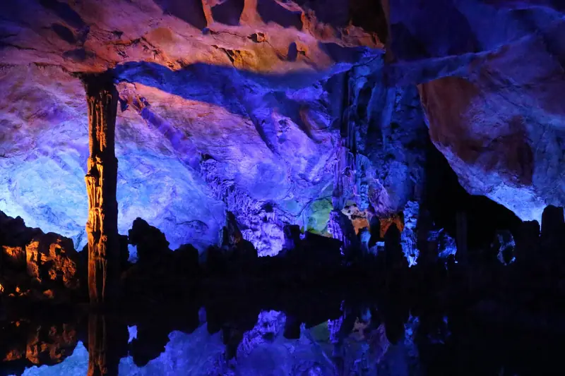
Photo adjustments
EXIF orientation normalized; resized without changing aspect ratio; converted to WebP. No subject edits.
- Administrative area
- County · 县
- Part of
- Luzhou
- Chinese name
- 叙永县
- Local areas
- County guide
Area & population
- Area in the source
- 2,977.00 km²
- Population · 2018
- 582,000
- Administrative seat
- Xuyong Town
Source: cited geographic source, as of the dates shown.
A merchants’ meeting hall
Completed in 1900 on Shaanxi Street (陕西街), Chunqiu Shrine was financed by salt merchants from Shaanxi (陕西) and Shanxi (山西). Its main hall honours Guan Yu (关羽), shown reading the Spring and Autumn Annals (春秋). Carved doors, windows and beams depict historical stories, theatrical scenes, landscapes, birds and flowers. Exhibitions cover salt transport and the wartime Xuyong branch of the National Southwest Associated University (西南联大叙永分校), while surviving tools recall the labour of salt porters.
Food from bamboo country
Local bamboo-shoot products include Luohan shoots (罗汉笋), bitter bamboo shoots (苦竹笋) and square bamboo shoots (方竹笋). In Shuiwei Town (水尾镇), grower Wu Gaolan (邬高兰) also cultivates edible fungi beneath bamboo, including morels (羊肚菌) and wood-ear mushrooms (毛木耳).
Sources for this guide
文化中国行丨走进川南木雕瑰宝春秋祠,百年古建筑焕发新活力_四川在线 · Sichuan Online
向森林要食物,为何四川叙永大有可为?_国家林业和草原局政府网 · National Forestry and Grassland Administration / China Green Times
Original English written from the listed sources and checked sentence by sentence against quoted extracts by a separate reviewer. Updated 2026-09-26.
Explore Xuyong County
Core places to explore, with English and Chinese names.
Places to explore around Xuyong County
 Chunqiu Temple ·
 Plan your visit
Getting there
Xuyong County is about 80 km in a straight line from central Luzhou. Search for 叙永县 in a map app to find stations and your accommodation.
Where to stay →Build your route
Start with Chunqiu Temple. The linked place guides have entrance and visit details.
Continue with Luzhou →More in Luzhou
Sources & geographic information
Administrative names and parent areas: Official geographic directory · Reference date 2026-09-06.
Photo: Chunqiu Temple · Source photographer · License not provided. EXIF orientation normalized; resized without changing aspect ratio; converted to WebP. No subject edits.
Map data © OpenStreetMap contributors. Pins mark approximate centres, not entrances or boundaries.