


Get to know Dacun Township
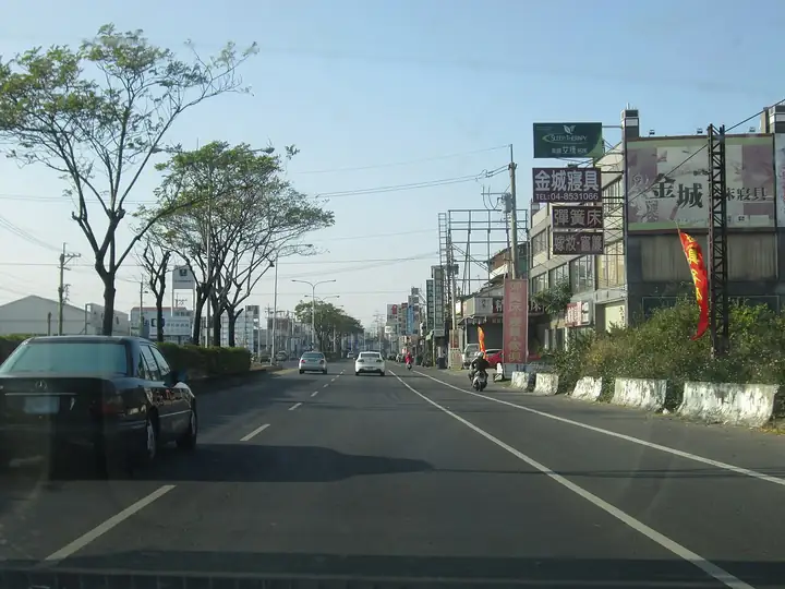
Photo adjustments
EXIF orientation normalized; resized without changing aspect ratio; converted to WebP. No subject edits.
- Administrative area
- Rural township · 鄉
- Part of
- Changhua County
- Chinese name
- 大村鄉
- Local areas
- Rural township guide
Area & population
- Area in the source
- 30.78 km²
Source: cited geographic source, as of the dates shown.
A bull woven from grapevines
At the children’s park of Gongqi Community Centre (貢旗社區中心), students from Da-Yeh University (大葉大學) and community volunteers created a 3.5-metre-high bull from discarded local grapevines. Da-Yeh University’s December 2024 coverage describes LED lighting inside the structure. Associate professor Atsushi Yoshida (吉田敦) connected the work with local materials and traditional weaving skills. Township secretary Hong Zhiyi (洪芝逸) described the bull as symbolising Gongqi’s rural life.
Grapes beyond the fruit bowl
A township promotional event on 29 May 2025 displayed pens made from recovered vine branches, grape-dyed crafts and grape noodles. Da-Yeh University president Fang Wen-chang (方文昌) also described the university’s cooperation with the township on processed products, including grape juice, vinegar, ice cream and jam.
Sources for this guide
大村鄉廢棄葡萄藤變身藝術裝置 成為打卡新地標 · Da-Yeh University Public Relations Office; reprinted Guan Media report by Chen Yafang
紫戀大村葡萄觀光文化季 大村打造台灣最具魅力的葡萄小鎮 · Da-Yeh University Public Relations Office; reprinted Guan Media report by Chen Yafang
Original English written from the listed sources and checked sentence by sentence against quoted extracts by a separate reviewer. Updated 2026-09-27.
Explore Dacun Township
Core places to explore, with English and Chinese names.
Dacun Township 大村鄉
Plan your visit
Getting there
Dacun Township is about 6 km in a straight line from central Changhua County. Search for 大村鄉 in a map app to find stations and your accommodation.
Where to stay →More in Changhua County
Sources & geographic information
Administrative names and parent areas: Official geographic directory · Reference date 2026-09-06.
Map data © OpenStreetMap contributors. Pins mark approximate centres, not entrances or boundaries.