


Get to know Shengang Township
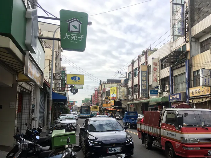
Photo adjustments
Full frame retained; proportionally resized and converted to WebP. No retouching or changes to the photographed subject. Card displays may crop the view.
- Administrative area
- Rural township · 鄉
- Part of
- Changhua County
- Chinese name
- 伸港鄉
- Local areas
- Rural township guide
Area & population
- Area in the source
- 22.00 km²
Source: cited geographic source, as of the dates shown.
Mudflats and river-borne food
The estuary has broad, gently sloping muddy flats. Nutrients and organic material washed down from the middle and lower river accumulate here, supporting fish, shrimp, crabs and shellfish that feed waterbirds. Fiddler crabs wave their enlarged claws over the tidal mud. Sand dunes, ponds, grassy marshes, riverbanks, fishponds and windbreak woodland add to the mix of habitats.
A boundary across the estuary
The Dadu Estuary Wildlife Refuge (大肚溪口野生動物保護區) extends across the boundary between Changhua and Taichung (臺中). Its southern limit lies north of Shengang’s Tianwei drainage channel (田尾排水溝). Near the river mouth are brackish marshes; the coastal habitat must withstand strong winds, waves and high salinity. The refuge was initially designated for waterbirds in 1995.
Sources for this guide
大肚溪口野生動物保護區 · Forestry and Nature Conservation Agency
Original English written from the listed sources and checked sentence by sentence against quoted extracts by a separate reviewer. Updated 2026-09-27.
Explore Shengang Township
Core places to explore, with English and Chinese names.
Shengang Township 伸港鄉
Plan your visit
Getting there
Shengang Township is about 25 km in a straight line from central Changhua County. Search for 伸港鄉 in a map app to find stations and your accommodation.
Where to stay →More in Changhua County
Sources & geographic information
Administrative names and parent areas: Official geographic directory · Reference date 2026-09-06.
Map data © OpenStreetMap contributors. Pins mark approximate centres, not entrances or boundaries.