


Get to know Xianxi Township
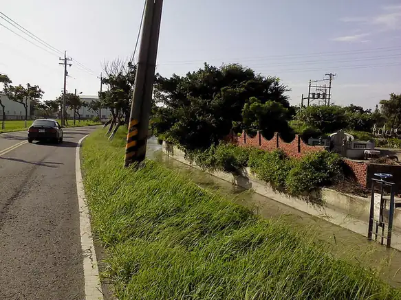
Photo adjustments
EXIF orientation normalized; resized without changing aspect ratio; converted to WebP. No subject edits.
- Administrative area
- Rural township · 鄉
- Part of
- Changhua County
- Chinese name
- 線西鄉
- Local areas
- Rural township guide
Area & population
- Area in the source
- 18.00 km²
Source: cited geographic source, as of the dates shown.
Fishing and military traces
Wenzai Fishing Port (塭仔漁港) is a local coastal landmark. The Clam Barracks (蛤蜊兵營) began as a settlement for retired soldiers who raised clams and undertook defence duties. Industrial development later changed the setting, leaving abandoned military structures and landscape art as reminders of that community.
Baking factories and temple places
Singmei Egg Roll Baking Kingdom (興麥蛋捲烘焙王國) interprets egg-roll production, while Taiwan Yougood School of Cookies (台灣優格餅乾學院) presents biscuit making. Local cultural places also include White Horse Winery (白馬酒莊), Qing’an Waterway Riverside Park (慶安水道河濱公園), and Bao’an and Dexing temples (寶安宮、德興宮), both dedicated to Mazu.
Sources for this guide
線西鄉 - 维基百科,自由的百科全书 · Wikipedia contributors · CC BY-SA 4.0
彰化旅遊資訊網 · Changhua County Government
Original English written from the listed sources and checked sentence by sentence against quoted extracts by a separate reviewer. Updated 2026-09-30.
Explore Xianxi Township
Core places to explore, with English and Chinese names.
Xianxi Township 線西鄉
Plan your visit
Getting there
Xianxi Township is about 25 km in a straight line from central Changhua County. Search for 線西鄉 in a map app to find stations and your accommodation.
Where to stay →More in Changhua County
Sources & geographic information
Administrative names and parent areas: Official geographic directory · Reference date 2026-09-06.
Some facts checked against 線西鄉 — Wikipedia contributors, CC BY-SA 4.0.
Map data © OpenStreetMap contributors. Pins mark approximate centres, not entrances or boundaries.