


Get to know Ershui Township
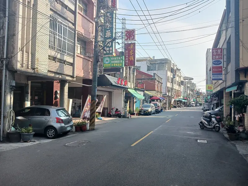
Photo adjustments
Full frame retained; EXIF orientation normalized, proportionally resized to at most 800 pixels and converted to WebP. No generated pixels or subject changes. Cards may crop the display.
- Administrative area
- Rural township · 鄉
- Part of
- Changhua County
- Chinese name
- 二水鄉
- Local areas
- Rural township guide
Area & population
- Area in the source
- 29.00 km²
Source: cited geographic source, as of the dates shown.
An old pilgrimage route
Kengneikeng Forest Trail (坑內坑森林步道) began as a route for residents making pilgrimages to Shoutian Temple (受天宮) at Songboling (松柏嶺), connecting Changhua with Nantou County (南投縣). Ecological engineering displays, observation areas and viewing platforms line the route. In March, yellow-flowering trumpet trees form a corridor of blossom extending for several hundred metres. The trail includes earth surfaces, wooden boardwalks, steps and a suspension bridge.
Woodland animals
A National Taiwan University (國立臺灣大學) survey conducted from May 1990 to March 1991 describes the Ershui Formosan Macaque Nature Reserve (二水臺灣獼猴自然保護區) as a 91-hectare site. It recorded 42 bird species and 49 butterfly species. Macaques also moved beyond the reserve boundary.
Sources for this guide
坑內坑森林步道 · Forestry and Nature Conservation Agency
80-4 二水台灣獼猴自然保護區動物相調查 · Forestry and Nature Conservation Agency; National Taiwan University research team
Original English written from the listed sources and checked sentence by sentence against quoted extracts by a separate reviewer. Updated 2026-09-27.
Explore Ershui Township
Core places to explore, with English and Chinese names.
Ershui Township 二水鄉
Plan your visit
Getting there
Ershui Township is about 15 km in a straight line from central Changhua County. Search for 二水鄉 in a map app to find stations and your accommodation.
Where to stay →More in Changhua County
Sources & geographic information
Administrative names and parent areas: Official geographic directory · Reference date 2026-09-06.
Map data © OpenStreetMap contributors. Pins mark approximate centres, not entrances or boundaries.