


Get to know Fenyuan Township
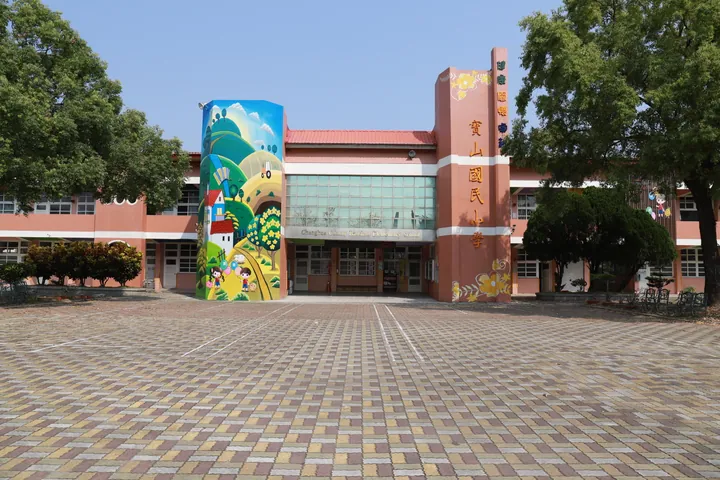
Photo adjustments
Full frame retained; proportionally resized and converted to WebP. No retouching or changes to the photographed subject. Card displays may crop the view.
- Administrative area
- Rural township · 鄉
- Part of
- Changhua County
- Chinese name
- 芬園鄉
- Local areas
- Rural township guide
Area & population
- Area in the source
- 38.00 km²
Source: cited geographic source, as of the dates shown.
Carving and an old bell
Baozang Temple has two halls and is dedicated to Guanyin (觀音) and Mazu (媽祖). Much of its surviving scale and appearance dates from 1848. Its timber carving is the work of early Cantonese craftsmen, while an old bell stands outside a side wing. An old plaque bears the words Baoshan Diyi (寶山第一), meaning first at Treasure Mountain.
A route to the springs
Tiaoshui lies between Dazhu (大竹) and Xitou (溪頭) villages. During Qing rule, settlers found a spring-fed channel and dug two wells, Long (龍) and Feng (鳳). They built stone steps along the water-carrying path. Tung trees line the route, shedding petals across it during their spring and summer flowering season.
Sources for this guide
寶藏寺-參山國家風景區管理處 · Tri-Mountain National Scenic Area Administration
挑水古道-參山國家風景區管理處 · Tri-Mountain National Scenic Area Administration
Original English written from the listed sources and checked sentence by sentence against quoted extracts by a separate reviewer. Updated 2026-09-27.
Explore Fenyuan Township
Core places to explore, with English and Chinese names.
Fenyuan Township 芬園鄉
Plan your visit
Getting there
Fenyuan Township is about 15 km in a straight line from central Changhua County. Search for 芬園鄉 in a map app to find stations and your accommodation.
Where to stay →More in Changhua County
Sources & geographic information
Administrative names and parent areas: Official geographic directory · Reference date 2026-09-06.
Map data © OpenStreetMap contributors. Pins mark approximate centres, not entrances or boundaries.