


Get to know Pitou Township
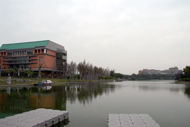
Photo adjustments
Full frame retained; proportionally resized and converted to WebP. No retouching or changes to the photographed subject. Card displays may crop the view.
- Administrative area
- Rural township · 鄉
- Part of
- Changhua County
- Chinese name
- 埤頭鄉
- Local areas
- Rural township guide
Area & population
- Area in the source
- 42.75 km²
Source: cited geographic source, as of the dates shown.
Flowers beside the river and tracks
Beside the Dongluo River (東螺溪), flowering cotton trees extend for more than three kilometres. The Sugar Railway National Greenway (糖鐵國家綠道) has a 10.5-kilometre section in Pitou, combining railway landscapes with views across farmland. Taiwan Rice Castle (台灣穀堡), another local attraction, is a rice-themed tourism factory.
From mochi production to demonstrations
The Bingzong Invention Museum (冰粽發明館) grew from a business that originally made traditional mochi for other companies. The next generation introduced Japanese-style mochi suitable for refrigeration or freezing while retaining handmade fillings. The factory developed a visitor component explaining the history and production of mochi. Its workshop space teaches the tying technique used for bingzong.
Sources for this guide
四季饗宴慢活之旅 · Erlin Township Office regional tourism leaflet; hosted by Taipei Municipal Zhongshan Girls High School
四季饗宴慢活之旅 · Erlin Township Office regional tourism leaflet; hosted by Taipei Municipal Zhongshan Girls High School
Original English written from the listed sources and checked sentence by sentence against quoted extracts by a separate reviewer. Updated 2026-09-27.
Explore Pitou Township
Core places to explore, with English and Chinese names.
Pitou Township 埤頭鄉
Plan your visit
Getting there
Pitou Township is about 9 km in a straight line from central Changhua County. Search for 埤頭鄉 in a map app to find stations and your accommodation.
Where to stay →More in Changhua County
Sources & geographic information
Administrative names and parent areas: Official geographic directory · Reference date 2026-09-06.
Map data © OpenStreetMap contributors. Pins mark approximate centres, not entrances or boundaries.