


Get to know Puyan Township
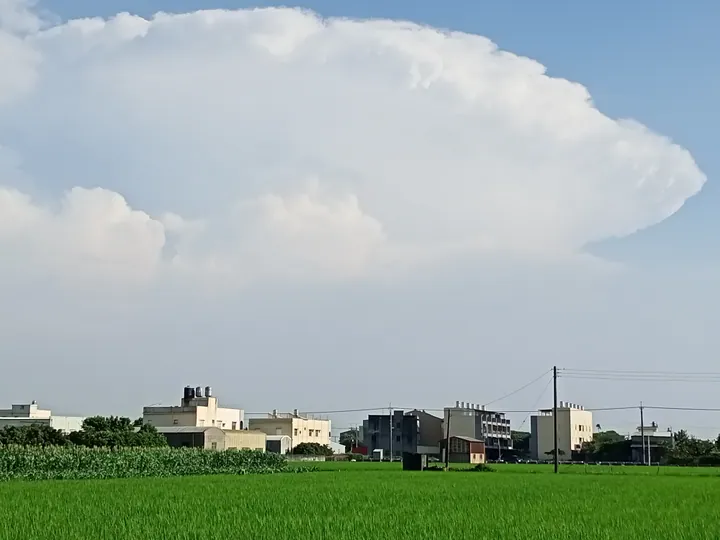
Photo adjustments
Full frame retained; proportionally resized and converted to WebP. No retouching or changes to the photographed subject. Card displays may crop the view.
- Administrative area
- Rural township · 鄉
- Part of
- Changhua County
- Chinese name
- 埔鹽鄉
- Local areas
- Rural township guide
Area & population
- Area in the source
- 39.00 km²
Source: cited geographic source, as of the dates shown.
Glutinous rice and village craft
Puyan village’s Glutinous Rice Culture and Flavour Workshop (糯米文化風味坊) reuses space for industrial interpretation. Brick artist Nian Jincheng’s (粘錦成) “Harvest” entrance sculpture depicts hardworking farmers and a peaceful agricultural year. In Xihu village (西湖村), the Jinchengge troupe (錦成閣) preserves a local Gaojia opera procession tradition.
Ponds, gardens and old houses
Punan village (埔南村) developed lotus ponds, medicinal-plant gardens and a butterfly-and-rhinoceros-beetle ecology park. Dayou village (大有村)’s Chen family old house has carved beams and two osmanthus trees in its courtyard. Around Shipi landscape park (石埤環保景觀公園), riverbanks, rice fields and bamboo form another rural setting; Dalian community (打廉社區)’s bamboo beside fish ponds provides a waterbird roost.
Sources for this guide
埔鹽鄉 - 维基百科,自由的百科全书 · Wikipedia contributors · CC BY-SA 4.0
彰化縣埔鹽鄉公所-觀光遊憩-主題旅遊-自然景觀 · Puyan Township Office
Original English written from the listed sources and checked sentence by sentence against quoted extracts by a separate reviewer. Updated 2026-09-30.
Explore Puyan Township
Core places to explore, with English and Chinese names.
Puyan Township 埔鹽鄉
Plan your visit
Getting there
Puyan Township is about 10 km in a straight line from central Changhua County. Search for 埔鹽鄉 in a map app to find stations and your accommodation.
Where to stay →More in Changhua County
Sources & geographic information
Administrative names and parent areas: Official geographic directory · Reference date 2026-09-06.
Some facts checked against 埔鹽鄉 — Wikipedia contributors, CC BY-SA 4.0.
Map data © OpenStreetMap contributors. Pins mark approximate centres, not entrances or boundaries.