


Get to know Tianwei Township
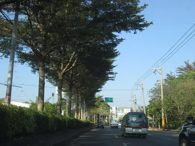
Photo adjustments
EXIF orientation normalized; resized without changing aspect ratio; converted to WebP. No subject edits.
- Administrative area
- Rural township · 鄉
- Part of
- Changhua County
- Chinese name
- 田尾鄉
- Local areas
- Rural township guide
Area & population
- Area in the source
- 24.00 km²
Source: cited geographic source, as of the dates shown.
Roadside nurseries and parks
The Tianwei Highway Garden (田尾公路花園), developed as a horticultural tourism area in 1973, follows Minsheng (民生路), Minzu (民族路) and Gongyuan (公園路) roads. Gardening businesses and landscaped gardens provide places to view and purchase plants. Yixin Park (怡心園) has terrazzo slides, climbing frames and a sandpit, alongside exercise equipment, shaded seats and a perimeter path.
Temple places and cycling routes
Tianyi Temple (天乙宮) honours Lord Su (蘇府王爺); Renli Beixuan Temple (仁里北玄宮) worships Xuantian Shangdi (玄天上帝). Guosheng Temple (國聖宮) is associated with Zheng Chenggong (鄭成功), and Chaotian Temple’s (朝天宮) Mazu worship connects it with Beigang. Baihua Qifang (百花騎放) and Dongluo Creek (東螺溪) cycling routes are other named recreational routes.
Sources for this guide
田尾鄉 - 维基百科,自由的百科全书 · Wikipedia contributors · CC BY-SA 4.0
彰化旅遊資訊網 · Changhua County Government
Original English written from the listed sources and checked sentence by sentence against quoted extracts by a separate reviewer. Updated 2026-09-30.
Explore Tianwei Township
Core places to explore, with English and Chinese names.
Places to explore around Tianwei Township
 AI illustration · AI
 Plan your visit
Getting there
Tianwei Township is about 4 km in a straight line from central Changhua County. Search for 田尾鄉 in a map app to find stations and your accommodation.
Where to stay →Build your route
Start with Tianwei Highway Garden. The linked place guides have entrance and visit details.
Continue with Changhua County →More in Changhua County
Sources & geographic information
Administrative names and parent areas: Official geographic directory · Reference date 2026-09-06.
Some facts checked against 田尾鄉 — Wikipedia contributors, CC BY-SA 4.0.
Map data © OpenStreetMap contributors. Pins mark approximate centres, not entrances or boundaries.