


Get to know Xihu Township
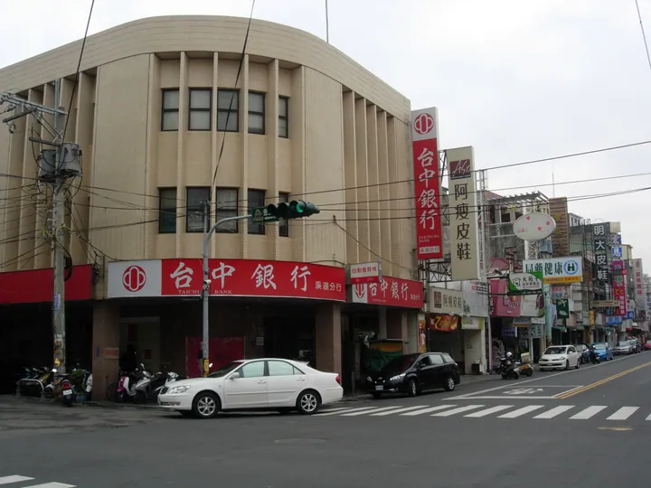
Photo adjustments
Full frame retained; proportionally resized and converted to WebP. No retouching or changes to the photographed subject. Card displays may crop the view.
- Administrative area
- Township · 鎮
- Part of
- Changhua County
- Chinese name
- 溪湖鎮
- Local areas
- Township guide
Area & population
- Area in the source
- 32.00 km²
Source: cited geographic source, as of the dates shown.
From production to heritage
Allied bombing badly damaged the factory during the Second World War and brought production to a halt. Sugar-making resumed after the war and continued until March 2002. In October of that year, the site took on a new role as a leisure and tourism park, retaining old buildings and tree-shaded grounds.
Railway carriages and ice pops
Taiwan’s narrow-gauge sugar railways carried cane and finished sugar products, with some passenger services. For the factory’s tourism conversion, art associations helped repaint and adapt old carriages. Another legacy is the factory’s ice pops: its welfare unit originally made them for employees, before they were sold to the public.
Sources for this guide
本館出版品 - 國立公共資訊圖書館 · National Library of Public Information; Lin Mingzhi, Books across Distance issue 60
Original English written from the listed sources and checked sentence by sentence against quoted extracts by a separate reviewer. Updated 2026-09-27.
Explore Xihu Township
Core places to explore, with English and Chinese names.
Xihu Township 溪湖鎮
Plan your visit
Getting there
Xihu Township is about 6 km in a straight line from central Changhua County. Search for 溪湖鎮 in a map app to find stations and your accommodation.
Where to stay →More in Changhua County
Sources & geographic information
Administrative names and parent areas: Official geographic directory · Reference date 2026-09-06.
Map data © OpenStreetMap contributors. Pins mark approximate centres, not entrances or boundaries.