


Get to know Yongjing Township
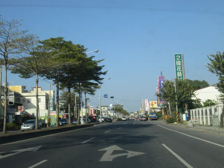
Photo adjustments
Full frame retained; proportionally resized and converted to WebP. No retouching or changes to the photographed subject. Card displays may crop the view.
- Administrative area
- Rural township · 鄉
- Part of
- Changhua County
- Chinese name
- 永靖鄉
- Local areas
- Rural township guide
Area & population
- Area in the source
- 21.00 km²
Source: cited geographic source, as of the dates shown.
Channels and settlement history
The Shiwuzhuang Canal (十五庄圳), initiated in 1721, took water from the Zhuoshui near Ershui and irrigated villages toward Yongjing. It became part of Babao’s (八堡圳) second canal in 1907. Local waterways and settlement names preserve this agricultural geography, while the former Yongjing public-school residence (永靖公學校宿舍) and Yusanguan (餘三館) are named historical buildings.
Courtyard gardens and temple landmarks
Chengmei Cultural Park (成美文化園) combines the historic Chengmei Gongtang house (成美公堂) with the He Garden (和園), landscaped grounds and paths. Yong’an Temple (永安宮) worships the Three Mountain Kings (三山國王); Qingfu Temple’s (清福宮) old earth-deity shrine is a listed historical building. Chen, Qiu and Jiang family ancestral halls (陳氏家廟、邱氏宗祠、江氏濟陽堂) add clan heritage.
Sources for this guide
永靖鄉 - 维基百科,自由的百科全书 · Wikipedia contributors · CC BY-SA 4.0
彰化旅遊資訊網 · Changhua County Government
Original English written from the listed sources and checked sentence by sentence against quoted extracts by a separate reviewer. Updated 2026-09-30.
Explore Yongjing Township
Core places to explore, with English and Chinese names.
Yongjing Township 永靖鄉
Plan your visit
Getting there
Yongjing Township covers the centre of Changhua County. Search for 永靖鄉 in a map app to find stations and your accommodation.
Where to stay →More in Changhua County
Sources & geographic information
Administrative names and parent areas: Official geographic directory · Reference date 2026-09-06.
Some facts checked against 永靖鄉 — Wikipedia contributors, CC BY-SA 4.0.
Map data © OpenStreetMap contributors. Pins mark approximate centres, not entrances or boundaries.