


Get to know Yuanlin City
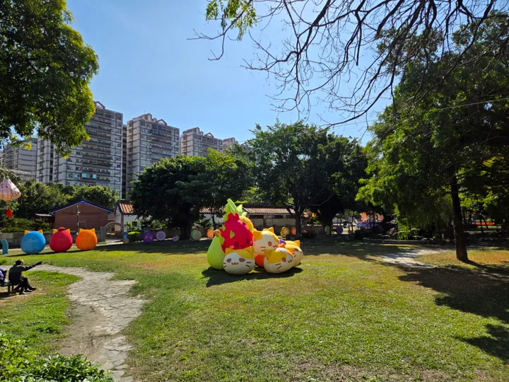
Photo adjustments
Full frame retained; proportionally resized and converted to WebP. No retouching or changes to the photographed subject. Card displays may crop the view.
- Administrative area
- County-administered city · 市
- Part of
- Changhua County
- Chinese name
- 員林市
- Local areas
- County-administered city guide
Area & population
- Area in the source
- 40.04 km²
Source: cited geographic source, as of the dates shown.
Torii gates and a temple terrace
Red torii gates recall Yuanlin Shrine (員林神社), which stood here during Japanese rule. Its main hall was converted into a martyrs’ shrine. Continuing uphill reaches Guangtian Temple (廣天宮), whose forecourt overlooks Yuanlin’s urban area. The recreation area also has a 25-metre tube slide, climbing nets and a playground on the slope.
Fruit along the trails
Three stepped paths, Erbaikan (二百崁), Sanbaikan (三百崁) and Sibaikan (四百崁), pass mainly through lychee and starfruit orchards. Their ridge offers views across the Changhua Plain (彰化平原). Baiguoshan’s climate suits sun-drying, and fruit grown in neighbouring townships supports the area’s tradition of sweet-and-sour preserved fruit. From Shangqin Memorial Pavilion (尚欽紀念亭), a farm road descends through the valley to Chushui Lane (出水巷).
Sources for this guide
百果山遊憩區-參山國家風景區管理處 · Tri-Mountain National Scenic Area Administration
百果山登山步道群萬里長城步道(二百崁步道、三百崁步道、四百崁步道)(第一級)-參山國家風景區管理處 · Tri-Mountain National Scenic Area Administration
Original English written from the listed sources and checked sentence by sentence against quoted extracts by a separate reviewer. Updated 2026-09-27.
Explore Yuanlin City
Core places to explore, with English and Chinese names.
Yuanlin City 員林市
Plan your visit
Getting there
Yuanlin City is about 5 km in a straight line from central Changhua County. Search for 員林市 in a map app to find stations and your accommodation.
Where to stay →More in Changhua County
Sources & geographic information
Administrative names and parent areas: Official geographic directory · Reference date 2026-09-06.
Map data © OpenStreetMap contributors. Pins mark approximate centres, not entrances or boundaries.