


Get to know Zhutang Township
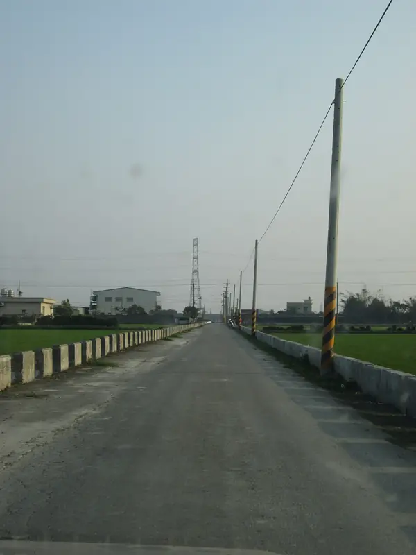
Photo adjustments
Full frame retained; EXIF orientation normalized, proportionally resized to at most 800 pixels and converted to WebP. No generated pixels or subject changes. Cards may crop the display.
- Administrative area
- Rural township · 鄉
- Part of
- Changhua County
- Chinese name
- 竹塘鄉
- Local areas
- Rural township guide
Area & population
- Area in the source
- 42.00 km²
Source: cited geographic source, as of the dates shown.
Rice fields and a watery place-name
Rice, vegetables and fruit are local agricultural products. The name recalls the reeds and scattered ponds encountered by early Han settlers. Cotton-tree avenues add red flowers to the spring landscape, while rice fields provide a changing backdrop through the seasons. Erlin Township Office’s regional tourism leaflet includes Zhutang’s cotton-tree avenues in its March–April spring itinerary.
A landmark by the embankment
The Jiulong Banyan (九龍大榕公) stands below the river embankment in Tiantou Village (田頭村). Its spreading branches and thick aerial roots suggest dragon claws, explaining the name “Nine Dragons”. Before Xiluo Bridge (西螺大橋) was built, villagers used the tree as a landmark when returning across the river with daily supplies. Beneath it is an altar to the Three Sacred Buddhas (三聖佛祖).
Sources for this guide
四季饗宴慢活之旅 — 竹塘鄉(第1頁) · Erlin Township Office regional tourism leaflet; hosted by Taipei Municipal Zhongshan Girls High School
四季饗宴慢活之旅 · Erlin Township Office regional tourism leaflet; hosted by Taipei Municipal Zhongshan Girls High School
Original English written from the listed sources and checked sentence by sentence against quoted extracts by a separate reviewer. Updated 2026-09-27.
Explore Zhutang Township
Core places to explore, with English and Chinese names.
Zhutang Township 竹塘鄉
Plan your visit
Getting there
Zhutang Township is about 15 km in a straight line from central Changhua County. Search for 竹塘鄉 in a map app to find stations and your accommodation.
Where to stay →More in Changhua County
Sources & geographic information
Administrative names and parent areas: Official geographic directory · Reference date 2026-09-06.
Map data © OpenStreetMap contributors. Pins mark approximate centres, not entrances or boundaries.