


Get to know Zhuoxi Township
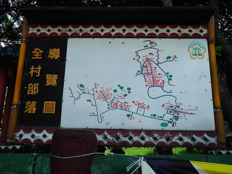
Photo adjustments
Full frame retained; EXIF orientation normalized, proportionally resized to at most 800 pixels and converted to WebP. No generated pixels or subject changes. Cards may crop the display.
- Administrative area
- Rural township · 鄉
- Part of
- Hualien County
- Chinese name
- 卓溪鄉
- Local areas
- Rural township guide
Area & population
- Area in the source
- 1,021.31 km²
Source: cited geographic source, as of the dates shown.
Valley and visitor centre
The centre stands in the Lakulaku River valley (拉庫拉庫溪谷), facing organic rice fields with wooded hills behind. Exhibitions arranged around a courtyard cover the history of the Batongguan Cross-Mountain Trail (八通關越嶺古道) and local ecology. Displays include Bunun (布農族) clothing, looms and everyday objects, alongside information about protected animals such as the Taiwan black bear.
Walami Trail
Walami Trail (瓦拉米步道) follows contours above the valley, connecting low- and middle-elevation forests. It developed from a Japanese-period guard road and retains cut rock faces and stone retaining walls. Shanfeng No. 1 Suspension Bridge (山風一號吊橋) crosses a deep ravine, while ferns crowd the sides of the route.
Sources for this guide
南安遊客中心-花蓮旅遊網 · Hualien County Government
瓦拉米步道-花蓮旅遊網 · Hualien County Government
Original English written from the listed sources and checked sentence by sentence against quoted extracts by a separate reviewer. Updated 2026-09-27.
Explore Zhuoxi Township
Core places to explore, with English and Chinese names.
Zhuoxi Township 卓溪鄉
Plan your visit
Getting there
Zhuoxi Township is about 80 km in a straight line from central Hualien County. Search for 卓溪鄉 in a map app to find stations and your accommodation.
Where to stay →More in Hualien County
Sources & geographic information
Administrative names and parent areas: Official geographic directory · Reference date 2026-09-06.
Map data © OpenStreetMap contributors. Pins mark approximate centres, not entrances or boundaries.