


Get to know Baisha Township
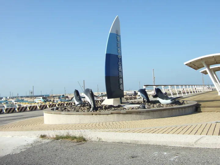
Photo adjustments
Full frame retained; proportionally resized and converted to WebP. No retouching or changes to the photographed subject. Card displays may crop the view.
- Administrative area
- Rural township · 鄉
- Part of
- Penghu County
- Chinese name
- 白沙鄉
- Local areas
- Rural township guide
Area & population
- Area in the source
- 20.00 km²
Source: cited geographic source, as of the dates shown.
Across the Houmen channel
Penghu Great Bridge (澎湖跨海大橋) spans the Houmen channel (吼門水道) between Baisha and Xiyu (西嶼). Measuring 2,494 metres, the crossing was first completed in 1970 and replaced by a two-lane bridge completed in 1996. The Tongliang (通梁) end is also associated with cactus ice, a sweet-and-sour local snack.
Jibei’s moving sand
Jibei Sand Spit (吉貝沙尾) projects into the sea from the island’s southwest. Accumulated coral fragments and shell sand form a spit roughly 800 metres long and 200 metres wide. Seasonal changes in winds and coastal currents alter its shape and size. Nearby Xikan Mountain (西崁山) was once a separate basalt reef, joined to Jibei by accumulated coral debris.
Explore Baisha Township
Core places to explore, with English and Chinese names.
Places to explore around Baisha Township
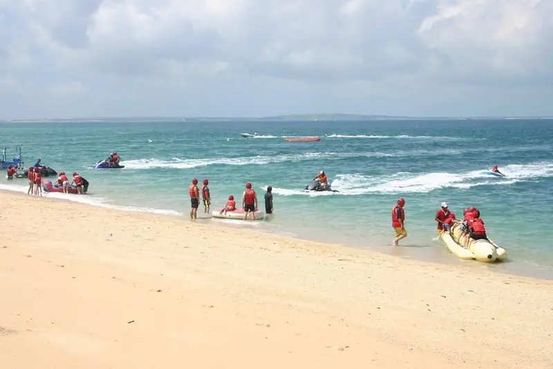 Jibei Sand Spit · 吉贝沙尾
Jibei Sand Spit吉贝沙尾
Jibei Sand Spit (吉贝沙尾) projects into the sea from the southwestern side of Jibei Island in northern Penghu.
Read the place guide →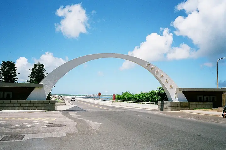 The entrance arch of Penghu Great Bridge · 澎湖跨海大桥入口拱门 Source-recorded photograph date: 2014-08-05 00:19:57.
Penghu Great Bridge澎湖跨海大桥
Penghu Great Bridge (澎湖跨海大桥) connects Baisha and Xiyu across the Houmen Channel.
Read the place guide →Plan your visit
Getting there
Baisha Township is about 10 km in a straight line from central Penghu County. Search for 白沙鄉 in a map app to find stations and your accommodation.
Where to stay →Build your route
Jibei Sand Spit and Penghu Great Bridge are both listed here. The linked place guides have entrance and visit details.
Continue with Penghu County →More in Penghu County
Sources & geographic information
Administrative names and parent areas: Official geographic directory · Reference date 2026-09-06.
Photo: Jibei Sand Spit · Source photographer · License not provided. EXIF orientation normalized; resized without changing aspect ratio; converted to WebP. No subject edits.
Photo: Penghu Great Bridge · Mark Yang · CC BY-SA 2.0. Full-frame source proportionally resized and converted to WebP for display. No subject alteration. Source-supplied marks and edits remain; cards may crop the view.

Map data © OpenStreetMap contributors. Pins mark approximate centres, not entrances or boundaries.