


Get to know Checheng Township
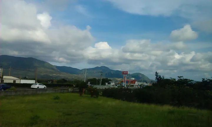
Photo adjustments
Full frame retained; proportionally resized and converted to WebP. No retouching or changes to the photographed subject. Card displays may crop the view.
- Administrative area
- Rural township · 鄉
- Part of
- Pingtung County
- Chinese name
- 車城鄉
- Local areas
- Rural township guide
Area & population
- Area in the source
- 50.00 km²
Source: cited geographic source, as of the dates shown.
Rivers and onion fields
Much of the eastern hill country lies below 400 metres. The township’s main agricultural plain occupies the northern part of the Hengchun valley (恆春縱谷), built from sediment deposited by the Sichong (四重溪) and Baoli (保力溪) rivers. Onions are a prominent crop. The Sichong river valley extends for about five kilometres between the surrounding hills.
Fu’an Temple
Fu’an Temple (福安宮) worships the Earth God, Fude Zhengshen (福德正神), whose image wears a crown and dragon robe. The temple’s three successive sections rise through six levels, with five entrances at the front. Stone dragon columns, painted beams and intricate bracket sets decorate the building. Old inscribed plaques and commemorative stone texts remain inside.
Explore Checheng Township
Core places to explore, with English and Chinese names.
Checheng Township 車城鄉
Plan your visit
Getting there
Checheng Township is about 70 km in a straight line from central Pingtung County. Search for 車城鄉 in a map app to find stations and your accommodation.
Where to stay →More in Pingtung County
Sources & geographic information
Administrative names and parent areas: Official geographic directory · Reference date 2026-09-06.
Map data © OpenStreetMap contributors. Pins mark approximate centres, not entrances or boundaries.