


Get to know Linluo Township
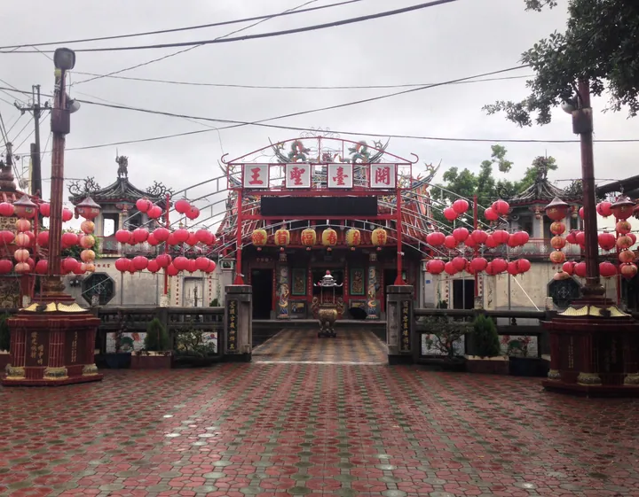
Photo adjustments
Full frame retained; proportionally resized and converted to WebP. No retouching or changes to the photographed subject. Card displays may crop the view.
- Administrative area
- Rural township · 鄉
- Part of
- Pingtung County
- Chinese name
- 麟洛鄉
- Local areas
- Rural township guide
Area & population
- Area in the source
- 16.00 km²
Source: cited geographic source, as of the dates shown.
A bridge for bicycles
The Bicycle Landscape Bridge (自行車景觀橋) crosses Provincial Highway 1 (台一線). Its white steel structure is crowned by two intersecting red tubular arches. The deck separates cyclists from pedestrians, whose path is laid with wooden boards. Rest areas, bicycle racks and route maps are incorporated into the bridge. Linluo Sports Park (麟洛運動公園) has an artificial lake, walking paths and large public artworks.
Hakka noodles
Hakka (客家) cooking gives the township’s small eateries a distinct focus. Bantiao (粄條) and mitaimu (米苔目), two forms of rice noodle, are local staples of these shops. Linluo also has its own railway station, while Highway 1 runs through the township.
Explore Linluo Township
Core places to explore, with English and Chinese names.
Linluo Township 麟洛鄉
Plan your visit
Getting there
Linluo Township is about 5 km in a straight line from central Pingtung County. Search for 麟洛鄉 in a map app to find stations and your accommodation.
Where to stay →More in Pingtung County
Sources & geographic information
Administrative names and parent areas: Official geographic directory · Reference date 2026-09-06.
Map data © OpenStreetMap contributors. Pins mark approximate centres, not entrances or boundaries.