


Get to know Fangliao Township
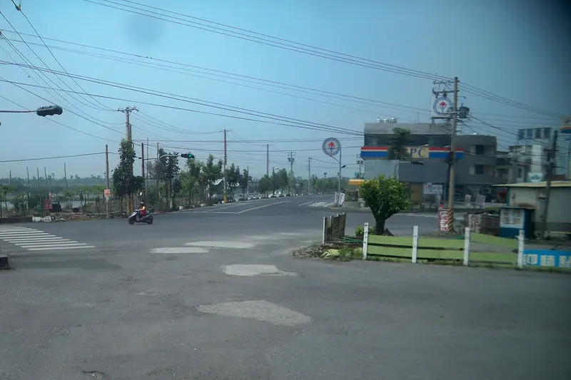
Photo adjustments
Full frame retained; EXIF orientation normalized, proportionally resized to at most 800 pixels and converted to WebP. No generated pixels or subject changes. Cards may crop the display.
- Administrative area
- Rural township · 鄉
- Part of
- Pingtung County
- Chinese name
- 枋寮鄉
- Local areas
- Rural township guide
Area & population
- Area in the source
- 58.00 km²
Source: cited geographic source, as of the dates shown.
A timber settlement
Fangliao’s name recalls loggers who built plank huts while cutting timber here during the Qing period. Timber was shipped across the strait for military boatbuilding. The 1764 revision of the Fengshan County Gazetteer (鳳山縣志) already recorded Fangliaokou Street (枋寮口街). Fangliao Station (枋寮火車站) marks the start of the South Link Railway (南迴鐵路).
Older family houses
Shuidiliao Old Houses (水底寮古厝群) preserve homes built by families including the Chens (陳家), Liangs (梁家) and Zhaos (趙家), whose settlement history reaches back to the early Qing period. Beyond the houses, the township’s landscape changes from fruit-tree cultivation near the mountain edge to aquaculture ponds on land facing the sea.
Explore Fangliao Township
Core places to explore, with English and Chinese names.
Fangliao Township 枋寮鄉
Plan your visit
Getting there
Fangliao Township is about 35 km in a straight line from central Pingtung County. Search for 枋寮鄉 in a map app to find stations and your accommodation.
Where to stay →More in Pingtung County
Sources & geographic information
Administrative names and parent areas: Official geographic directory · Reference date 2026-09-06.
Map data © OpenStreetMap contributors. Pins mark approximate centres, not entrances or boundaries.