


Get to know Gaoshu Township
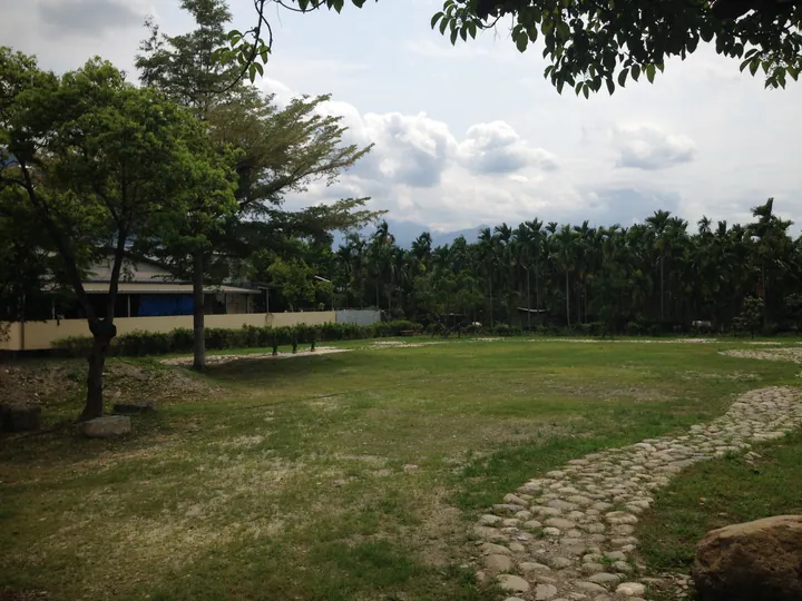
Photo adjustments
Full frame retained; proportionally resized and converted to WebP. No retouching or changes to the photographed subject. Card displays may crop the view.
- Administrative area
- Rural township · 鄉
- Part of
- Pingtung County
- Chinese name
- 高樹鄉
- Local areas
- Rural township guide
Area & population
- Area in the source
- 90.00 km²
Source: cited geographic source, as of the dates shown.
A river-bounded plain
The Laonong River (荖濃溪) lies to the west, the Zhuokou River (濁口溪) to the north and the Ailiao River (隘寮溪) to the south. The landscape includes fertile alluvial ground. Pineapples are a local crop, with several varieties grown; Pingtung County Government describes them as thin-skinned, finely fibred and juicy.
Dalu Guan’s stone lions
Dalu Guan (大路關) has three stone lions associated with village protection. Local stories connect the first lion, made in 1777, with prayers for harvests threatened by hot winds. Later lions figure in legends of floods and neighbouring villages. The third was made by craftsman Li Songda (李松達), from Wanluan (萬巒), after an earlier attempt by villagers proved unsatisfactory.
Explore Gaoshu Township
Core places to explore, with English and Chinese names.
Gaoshu Township 高樹鄉
Plan your visit
Getting there
Gaoshu Township is about 20 km in a straight line from central Pingtung County. Search for 高樹鄉 in a map app to find stations and your accommodation.
Where to stay →More in Pingtung County
Sources & geographic information
Administrative names and parent areas: Official geographic directory · Reference date 2026-09-06.
Map data © OpenStreetMap contributors. Pins mark approximate centres, not entrances or boundaries.