


Get to know Jiadong Township
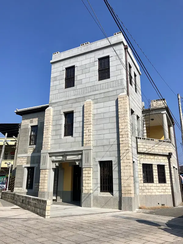
Photo adjustments
Full frame retained; EXIF orientation normalized, proportionally resized to at most 800 pixels and converted to WebP. No generated pixels or subject changes. Cards may crop the display.
- Administrative area
- Rural township · 鄉
- Part of
- Pingtung County
- Chinese name
- 佳冬鄉
- Local areas
- Rural township guide
Area & population
- Area in the source
- 31.00 km²
Source: cited geographic source, as of the dates shown.
The Xiao family compound
The Xiao Family Old House (蕭家古厝) was built during the Xianfeng reign by a family whose business success financed a residence modelled on homes in Meixian, Guangdong (廣東梅縣). Five successive halls organise the compound, with ancestral tablets in the second. Buyue Tower (步月樓) served as a study and meeting place for literary guests; bullet holes remain from fighting after Taiwan was ceded to Japan.
Seafood bantiao
Jiadong’s bantiao (粄條) rice noodles use a tuna-based stock. The minced topping combines tuna and pork, while the bowl includes pork liver, tuna and oysters. This coastal version brings seafood flavour into a dish associated with Hakka communities.
Explore Jiadong Township
Core places to explore, with English and Chinese names.
Jiadong Township 佳冬鄉
Plan your visit
Getting there
Jiadong Township is about 30 km in a straight line from central Pingtung County. Search for 佳冬鄉 in a map app to find stations and your accommodation.
Where to stay →More in Pingtung County
Sources & geographic information
Administrative names and parent areas: Official geographic directory · Reference date 2026-09-06.
Map data © OpenStreetMap contributors. Pins mark approximate centres, not entrances or boundaries.