


Get to know Kanding Township
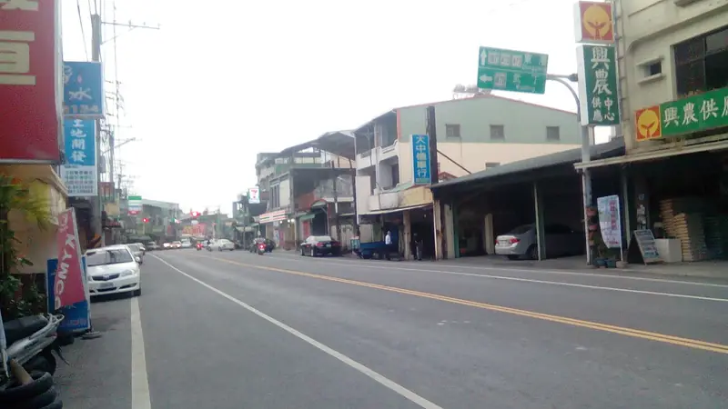
Photo adjustments
EXIF orientation normalized; resized without changing aspect ratio; converted to WebP. No subject edits.
- Administrative area
- Rural township · 鄉
- Part of
- Pingtung County
- Chinese name
- 崁頂鄉
- Local areas
- Rural township guide
Area & population
- Area in the source
- 31.00 km²
Source: cited geographic source, as of the dates shown.
Woodland and ponds
Kanding Ecological Park (崁頂生態公園) covers six hectares near the township centre. Its conservation area contains planted woodland and five ecological ponds that hold rainwater and provide wildlife habitat. A more open buffer zone has boardwalks for walking and environmental education. The activity area includes a sugarcane transport wagon display and a waterwheel.
Sesame and farming
Local agriculture includes sesame, wax apples, rice and sugarcane, and Kanding is associated with sesame oil. Aquaculture also forms part of the township’s economy, including eels, freshwater fish and shrimp. The area was formerly a settlement of the Makatao (馬卡道族) Lili community (力力社).
Explore Kanding Township
Core places to explore, with English and Chinese names.
Kanding Township 崁頂鄉
Plan your visit
Getting there
Kanding Township is about 15 km in a straight line from central Pingtung County. Search for 崁頂鄉 in a map app to find stations and your accommodation.
Where to stay →More in Pingtung County
Sources & geographic information
Administrative names and parent areas: Official geographic directory · Reference date 2026-09-06.
Map data © OpenStreetMap contributors. Pins mark approximate centres, not entrances or boundaries.