


Get to know Laiyi Township
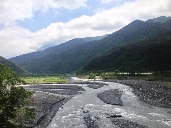
Photo adjustments
Full frame retained; proportionally resized and converted to WebP. No retouching or changes to the photographed subject. Card displays may crop the view.
- Administrative area
- Rural township · 鄉
- Part of
- Pingtung County
- Chinese name
- 來義鄉
- Local areas
- Rural township guide
Area & population
- Area in the source
- 168.00 km²
Source: cited geographic source, as of the dates shown.
Water beneath the ground
The Erfeng Irrigation Canal (二峰圳) uses an underground collection system to draw on water that seeps below ground. Engineer Torii Nobuhei (鳥居信平) developed this approach for sugarcane irrigation near Xiaodanlin (小丹林), where large seasonal differences in stream flow complicated water supply. Local Indigenous workers built the system; open channels run through the village, with taro growing along their banks.
Taro, millet and weaving
Millet is used in cinavu (奇拿富), a Paiwan wrapped food. Taro, formerly a staple, is processed into dried taro using traditional kilns. Shell ginger (月桃) supplies another everyday material: dried leaf sheaths are woven into mats. Clothing, woodcarving and sculpture also form part of Laiyi’s craft traditions.
Explore Laiyi Township
Core places to explore, with English and Chinese names.
Laiyi Township 來義鄉
Plan your visit
Getting there
Laiyi Township is about 25 km in a straight line from central Pingtung County. Search for 來義鄉 in a map app to find stations and your accommodation.
Where to stay →More in Pingtung County
Sources & geographic information
Administrative names and parent areas: Official geographic directory · Reference date 2026-09-06.
Map data © OpenStreetMap contributors. Pins mark approximate centres, not entrances or boundaries.