


Get to know Mudan Township
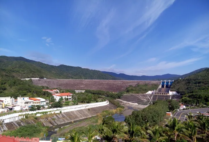
Photo adjustments
Full frame retained; proportionally resized and converted to WebP. No retouching or changes to the photographed subject. Card displays may crop the view.
- Administrative area
- Rural township · 鄉
- Part of
- Pingtung County
- Chinese name
- 牡丹鄉
- Local areas
- Rural township guide
Area & population
- Area in the source
- 182.00 km²
Source: cited geographic source, as of the dates shown.
River valleys
The Mudan River (牡丹溪), Nureng River (女仍溪) and Zhushe River (竹社溪) meet at Shimen Village (石門村), then flow through Checheng (車城鄉) towards the Taiwan Strait (台灣海峽). The flatter land beside these streams is suitable for growing rice, melons and fruit. The township’s mountains remain below 1,000 metres.
Dongyuan’s wooded valley
Dongyuan Forest Recreation Area (東源森林遊樂區) has woodland paths, mahogany trees, stone huts and white ginger lilies, as well as Dongyuan Lake (東源湖). The lake’s alternative name, Weeping Lake (哭泣湖), echoes a Paiwan expression meaning a gathering of water. Nearby, the Water Grassland (水上草原) occupies former marshland that became overgrown after cultivation ceased, giving its surface a notably soft character.
Sources for this guide
牡丹鄉 · Pingtung County Government
東源森林遊樂區與東源水上草原 · Pingtung County Government
Original English written from the listed sources and checked sentence by sentence against quoted extracts by a separate reviewer. Updated 2026-09-27.
Explore Mudan Township
Core places to explore, with English and Chinese names.
Mudan Township 牡丹鄉
Plan your visit
Getting there
Mudan Township is about 65 km in a straight line from central Pingtung County. Search for 牡丹鄉 in a map app to find stations and your accommodation.
Where to stay →More in Pingtung County
Sources & geographic information
Administrative names and parent areas: Official geographic directory · Reference date 2026-09-06.
Map data © OpenStreetMap contributors. Pins mark approximate centres, not entrances or boundaries.