


Get to know Shizi Township
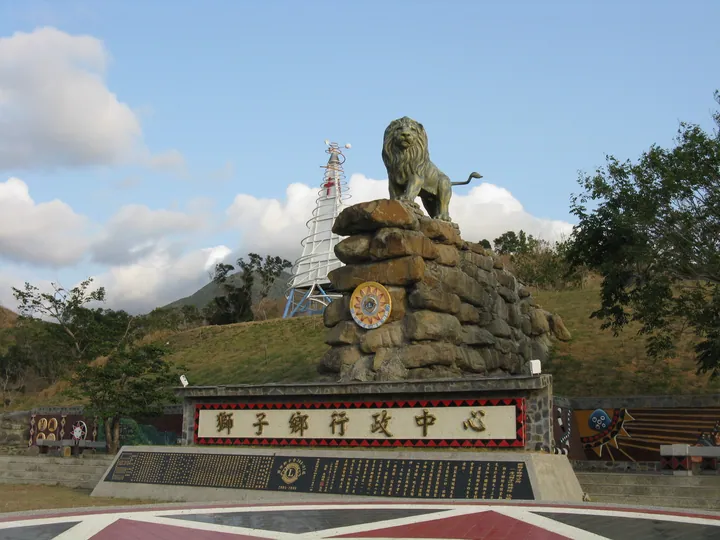
Photo adjustments
Full frame retained; proportionally resized and converted to WebP. No retouching or changes to the photographed subject. Card displays may crop the view.
- Administrative area
- Rural township · 鄉
- Part of
- Pingtung County
- Chinese name
- 獅子鄉
- Local areas
- Rural township guide
Area & population
- Area in the source
- 301.00 km²
Source: cited geographic source, as of the dates shown.
Setting and landscape
The forest recreation area rises from 175 to 650 metres above sea level beside the South Link Highway (南迴公路). It occupies the meeting point of two headwaters of the Fenggang River (楓港溪). Shuangliu Waterfall (雙流瀑布) drops 25 metres amid wooded cliffs, with a semicircular arched bridge nearby.
What to see
A different detail appears on Sunshine Lawn (陽光草坪): oversized acorns designed as seats. The Forestry and Nature Conservation Agency's Pingtung Branch described the seats in December 2023; their shapes draw on three kinds of trees in the beech family. The surrounding paths were also reshaped to reduce their gradients. The installation combines seating with a way to recognise the forest's acorns.
Sources for this guide
拾美步道 | 屏東旅遊網 · Pingtung County Government
雙流國家森林遊樂區最新打卡景點亮相,巨型橡實現蹤讓人森櫟奇境 · Forestry and Nature Conservation Agency, Pingtung Branch
Original English written from the listed sources and checked sentence by sentence against quoted extracts by a separate reviewer. Updated 2026-09-27.
Explore Shizi Township
Core places to explore, with English and Chinese names.
Shizi Township 獅子鄉
Plan your visit
Getting there
Shizi Township is about 55 km in a straight line from central Pingtung County. Search for 獅子鄉 in a map app to find stations and your accommodation.
Where to stay →More in Pingtung County
Sources & geographic information
Administrative names and parent areas: Official geographic directory · Reference date 2026-09-06.
Map data © OpenStreetMap contributors. Pins mark approximate centres, not entrances or boundaries.