


Get to know Yanpu Township
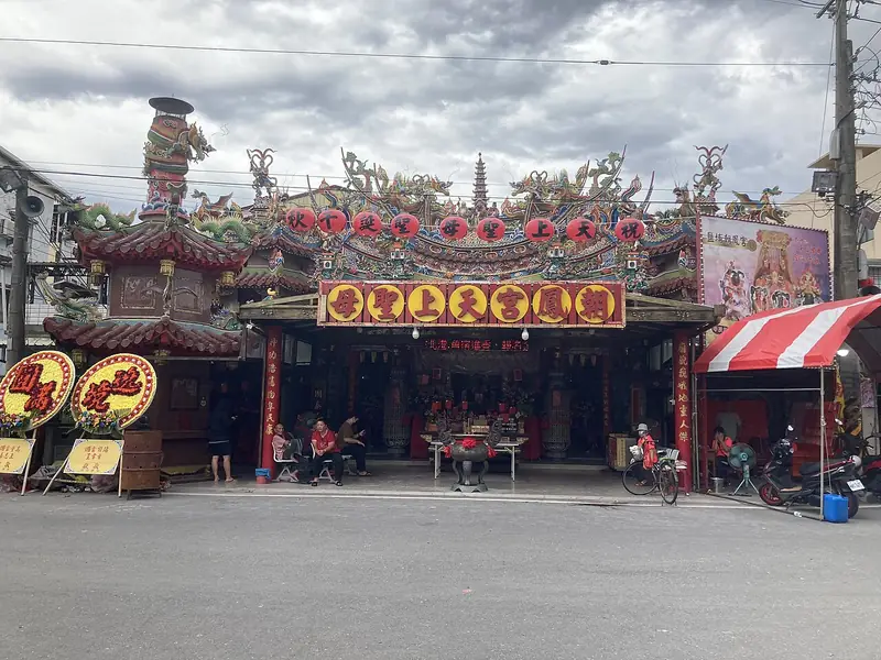
Photo adjustments
Full frame retained; EXIF orientation normalized, proportionally resized to at most 800 pixels and converted to WebP. No generated pixels or subject changes. Cards may crop the display.
- Administrative area
- Rural township · 鄉
- Part of
- Pingtung County
- Chinese name
- 鹽埔鄉
- Local areas
- Rural township guide
Area & population
- Area in the source
- 64.00 km²
Source: cited geographic source, as of the dates shown.
What to see
The Ailiao River embankment cycle route passes through Yanpu as part of a roughly 24-kilometre route beginning at Sandimen Bridge (三地門大橋). It also crosses Neipu (內埔), Ligang (里港) and Jiuru (九如). At the six-kilometre point, coral trees on both sides form a leafy tunnel. The embankment gives elevated views across the surrounding landscape.
Food and local products
Yanpu grows wax apples, mangoes, starfruit, red sugarcane and edamame. Flower cultivation includes roses, oncidium orchids and bird-of-paradise flowers. White ginger lilies are also grown here: a community women's group in Yanzhong Village (鹽中村) developed more than ten dishes using them.
Sources for this guide
鹽埔鄉 · Pingtung County Government
隘寮溪鹽埔段堤防自行車道綠色隧道 · Pingtung County Government
Original English written from the listed sources and checked sentence by sentence against quoted extracts by a separate reviewer. Updated 2026-09-27.
Explore Yanpu Township
Core places to explore, with English and Chinese names.
Yanpu Township 鹽埔鄉
Plan your visit
Getting there
Yanpu Township is about 10 km in a straight line from central Pingtung County. Search for 鹽埔鄉 in a map app to find stations and your accommodation.
Where to stay →More in Pingtung County
Sources & geographic information
Administrative names and parent areas: Official geographic directory · Reference date 2026-09-06.
Map data © OpenStreetMap contributors. Pins mark approximate centres, not entrances or boundaries.