


Get to know Korla
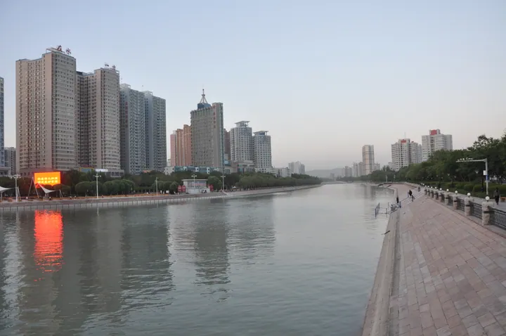
Photo adjustments
Full frame retained; proportionally resized and converted to WebP. No retouching or changes to the photographed subject. Card displays may crop the view.
- Administrative area
- County-level city · 县级市
- Part of
- Bayingolin Mongol Autonomous Prefecture
- Chinese name
- 库尔勒市
- Local areas
- County-level city guide
Area & population
- Area in the source
- 7,219.48 km²
- Population · 2020
- 779,352
Source: cited geographic source, as of the dates shown.
Winter trees and swans
Kongque Park (孔雀公园) stands on the south bank of the Kongque River, where winter frost coats the riverside trees. Migrating swans gather on the Dujuan River, offering a different seasonal scene within the city. The Hongyan River has reed-planted banks, a path for non-motorised traffic, viewing pavilions and numerous landscape bridges.
Yong’an Tower on an island
Yong’an Tower (永安塔) stands on a small island in the Hongyan River, in western Korla. Construction began in 2015. The nine-storey, square-bodied tower is 52.7 metres high and tapers upwards. An elevator reaches the top floor, whose windows face all four directions. Walking paths and a square surround the tower, which takes its name from the former Yong’an Township (永安乡).
Sources for this guide
八条冬季旅游线路!带你玩转梨城→ · Korla City Government
Original English written from the listed sources and checked sentence by sentence against quoted extracts by a separate reviewer. Updated 2026-09-27.
Explore Korla
Core places to explore, with English and Chinese names.
Places to explore around Korla
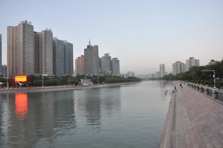 The Konqi River running away through Korla at dusk: a stone-paved promenade with balustrades and lamps along the right bank, a long row of apartment towers with a lit LED billboard on the left bank, its orange glow reflected in the water, and low hills and haze at the horizon.
Plan your visit
Getting there
Korla is about 35 km in a straight line from central Bayingolin Mongol Autonomous Prefecture. Search for 库尔勒市 in a map app to find stations and your accommodation.
Where to stay →Build your route
Start with Peacock River and Korla Riverfront. The linked place guides have entrance and visit details.
Continue with Bayingolin Mongol Autonomous Prefecture →More in Bayingolin Mongol Autonomous Prefecture
Sources & geographic information
Administrative names and parent areas: Official geographic directory · Reference date 2026-09-06.
Photo: Peacock River and Korla Riverfront · liuzusai刘祖赛 · CC BY 3.0. Full frame retained; proportionally resized and converted to WebP. No retouching or changes to the photographed subject. Card displays may crop the view.
.jpg)
Map data © OpenStreetMap contributors. Pins mark approximate centres, not entrances or boundaries.