


Get to know Luntai County
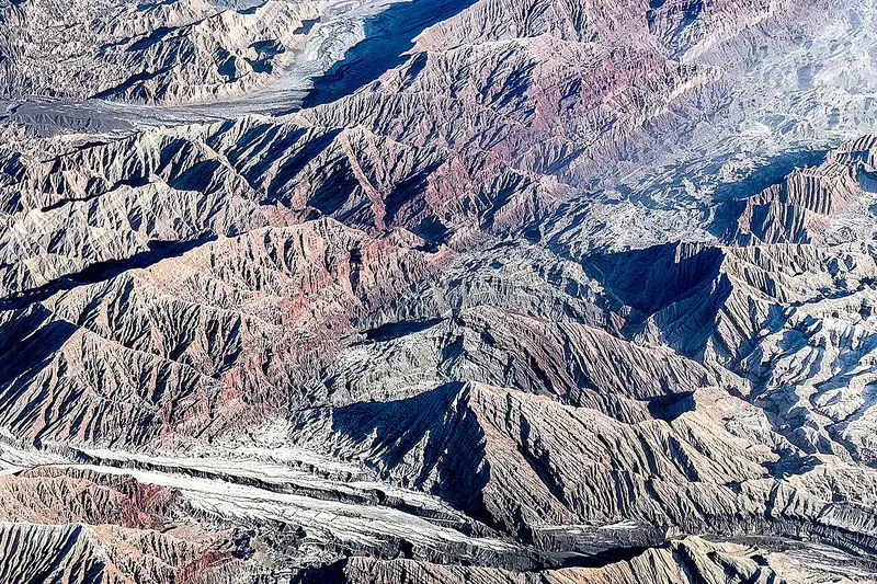
Photo adjustments
Full frame retained; EXIF orientation normalized, proportionally resized to at most 800 pixels and converted to WebP. No generated pixels or subject changes. Cards may crop the display.
- Administrative area
- County · 县
- Part of
- Bayingolin Mongol Autonomous Prefecture
- Chinese name
- 轮台县
- Local areas
- County guide
Area & population
- Area in the source
- 14,181.70 km²
- Population · 2020
- 137,327
- Administrative seat
- Luntai Town (Bügür)
Source: cited geographic source, as of the dates shown.
A winding route through the trees
A seventeen-kilometre scenic road with 126 bends runs through the old poplar woodland. The trees resist drought, windblown sand and saline conditions. Their appearance changes through the year: new green buds emerge in spring, summer brings leafy shade, and autumn turns the lakeside trees gold. In winter, snow settles on the poplars in the desert.
Lakes linked by a small railway
A thirteen-kilometre circular sightseeing railway links several larger lakes within the forest. Its route passes grassland, tamarisk thickets and reed beds, crosses the Qiayang River (恰阳河), and circles woodland lakes. Poplars grow densely beside the water.
Sources for this guide
轮台县塔里木胡杨林公园简介 · Luntai County Government Office
Original English written from the listed sources and checked sentence by sentence against quoted extracts by a separate reviewer. Updated 2026-09-27.
Explore Luntai County
Core places to explore, with English and Chinese names.
Places to explore around Luntai County
 AI illustration · AI
 Plan your visit
Getting there
Luntai County is about 155 km in a straight line from central Bayingolin Mongol Autonomous Prefecture. Search for 轮台县 in a map app to find stations and your accommodation.
Where to stay →Build your route
Start with Tarim Poplar Forest. The linked place guides have entrance and visit details.
Continue with Bayingolin Mongol Autonomous Prefecture →More in Bayingolin Mongol Autonomous Prefecture
Sources & geographic information
Administrative names and parent areas: Official geographic directory · Reference date 2026-09-06.
Map data © OpenStreetMap contributors. Pins mark approximate centres, not entrances or boundaries.