


Get to know Yanqi Hui Autonomous County
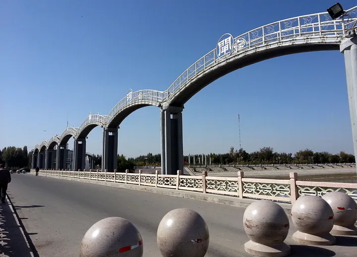
Photo adjustments
Full frame retained; proportionally resized and converted to WebP. No retouching or changes to the photographed subject. Card displays may crop the view.
- Administrative area
- Autonomous county · 自治县
- Part of
- Bayingolin Mongol Autonomous Prefecture
- Chinese name
- 焉耆回族自治县
- Local areas
- Autonomous county guide
Area & population
- Area in the source
- 2,429.20 km²
- Population · 2020
- 122,961
- Administrative seat
- Karasahr (Yanqi)
Source: cited geographic source, as of the dates shown.
Caves and temple foundations
Eleven caves survive, some retaining bases for Buddhist images. Fragments of murals include cloud and scrolling-plant patterns, musicians and flying celestial figures. About one kilometre south of the caves, a spring-fed channel divides the temple remains into northern and southern areas. Ninety-three surviving structural remains include stupas, monks’ rooms and halls.
Excavated objects and digital displays
The site museum was completed in 2023. Its collections include pottery, heads of Buddhas and bodhisattvas, mural fragments, wooden carvings and ancient coins. Interactive screens explain architectural components, while a wall-projection gallery allows visitors to interact with mural imagery. Souvenirs inspired by excavated objects include refrigerator magnets, keyrings and fans.
Sources for this guide
A级旅游景区基本情况 · Yanqi County Culture and Tourism Bureau
Original English written from the listed sources and checked sentence by sentence against quoted extracts by a separate reviewer. Updated 2026-09-27.
Explore Yanqi Hui Autonomous County
Core places to explore, with English and Chinese names.
Yanqi Hui Autonomous County 焉耆回族自治县
Plan your visit
Getting there
Yanqi Hui Autonomous County is about 50 km in a straight line from central Bayingolin Mongol Autonomous Prefecture. Search for 焉耆回族自治县 in a map app to find stations and your accommodation.
Where to stay →More in Bayingolin Mongol Autonomous Prefecture
Sources & geographic information
Administrative names and parent areas: Official geographic directory · Reference date 2026-09-06.
Map data © OpenStreetMap contributors. Pins mark approximate centres, not entrances or boundaries.