


Get to know Fukang
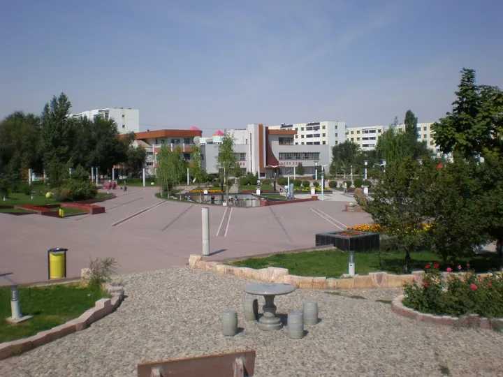
Photo adjustments
Full frame retained; proportionally resized and converted to WebP. No retouching or changes to the photographed subject. Card displays may crop the view.
- Administrative area
- County-level city · 县级市
- Part of
- Changji Hui Autonomous Prefecture
- Chinese name
- 阜康市
- Local areas
- County-level city guide
Area & population
- Area in the source
- 11,726.00 km²
- Population · 2020
- 181,144
- Administrative seat
- Bofeng Subdistrict
Source: cited geographic source, as of the dates shown.
Forests around an alpine lake
The water lies at roughly 1,980 metres. The surrounding mountains have grass and wildflowers, with spruce covering their slopes. The wider scenic area includes forests, grasslands, snowy mountains and glaciers, arranged across four vertical landscape zones. Its named sightseeing divisions include the lake itself and the northern slopes of Bogda Peak.
Myth and village life
Tianchi’s cultural traditions include the story of Xiwangmu (西王母), the Queen Mother of the West, and her mythical Yaochi Lake (瑶池). At Tianchi Folk Customs Park (天山天池民俗风情园), villagers who moved down from the mountains run shops. A September 2026 Fukang Integrated Media account presents Tuoli’en Qiayi (托力恩·恰衣), from Kuokehula Village (阔克胡拉村), as one of these local residents.
Sources for this guide
天山天池景区_旅游推荐_新疆维吾尔自治区人民政府网 · Xinjiang Tourism Bureau; Xinjiang Regional People’s Government
【高质量发展调研行】《昌吉回族自治州天山天池风景名胜区保护管理条例》出台法治护航景区高质量发展_阜康市人民政府 · Fukang Integrated Media Center; Fukang Municipal People’s Government
Original English written from the listed sources and checked sentence by sentence against quoted extracts by a separate reviewer. Updated 2026-09-27.
Explore Fukang
Core places to explore, with English and Chinese names.
Places to explore around Fukang
 Tianshan Tianchi Lake ·
 Plan your visit
Getting there
Fukang is about 55 km in a straight line from central Changji Hui Autonomous Prefecture. Search for 阜康市 in a map app to find stations and your accommodation.
Where to stay →Build your route
Start with Tianchi / Heavenly Lake. The linked place guides have entrance and visit details.
Continue with Changji Hui Autonomous Prefecture →More in Changji Hui Autonomous Prefecture
Sources & geographic information
Administrative names and parent areas: Official geographic directory (dmfw.mca.gov.cn) · Reference date 2026-09-06.
Photo: Tianchi / Heavenly Lake · Caitriana Nicholson from 北京 ~ Beijing, 中国 ~ China · CC BY-SA 2.0. Wikimedia thumbnail; fitted to the ranking-card frame.
.jpg)
Map data © OpenStreetMap contributors. Pins mark approximate centres, not entrances or boundaries.