


Get to know Manas County
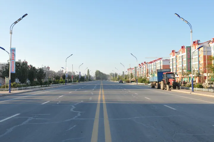
Photo adjustments
Full frame retained; proportionally resized and converted to WebP. No retouching or changes to the photographed subject. Card displays may crop the view.
- Administrative area
- County · 县
- Part of
- Changji Hui Autonomous Prefecture
- Chinese name
- 玛纳斯县
- Local areas
- County guide
Area & population
- Area in the source
- 9,171.00 km²
- Population · 2020
- 192,098
- Administrative seat
- Manas Town
Source: cited geographic source, as of the dates shown.
Green water between red cliffs
Kenswat occupies the middle reaches of the Manas River (玛纳斯河), about sixty kilometres from the county seat. Its water winds between mountains of red Danxia cliffs. The scenic area includes a glass bridge, a suspension bridge, a cableway and an elevated cycling attraction. The red rock and green water form the landscape’s contrasting colours.
Rivers, pools and marshes
The wetland park adjoins Shihezi (石河子市). Its habitats include river wetlands, reservoir pools, mudflats and marshes. Tamarisk, desert poplar, reeds and cattails grow here, with secondary tamarisk shrubland and poplar woodland providing food and habitat for birds and fish. The county government records black storks, golden eagles, white-tailed eagles, whooper swans and grey cranes among the park’s wildlife.
Sources for this guide
肯斯瓦特景区简介_玛纳斯县人民政府 · Manas County People’s Government
新疆玛纳斯国家湿地公园_玛纳斯县人民政府 · Manas County People’s Government
Original English written from the listed sources and checked sentence by sentence against quoted extracts by a separate reviewer. Updated 2026-09-27.
Explore Manas County
Core places to explore, with English and Chinese names.
Manas County 玛纳斯县
Plan your visit
Getting there
Manas County is about 95 km in a straight line from central Changji Hui Autonomous Prefecture. Search for 玛纳斯县 in a map app to find stations and your accommodation.
Where to stay →More in Changji Hui Autonomous Prefecture
Sources & geographic information
Administrative names and parent areas: Official geographic directory (dmfw.mca.gov.cn) · Reference date 2026-09-06.
Map data © OpenStreetMap contributors. Pins mark approximate centres, not entrances or boundaries.