


Get to know Qitai County
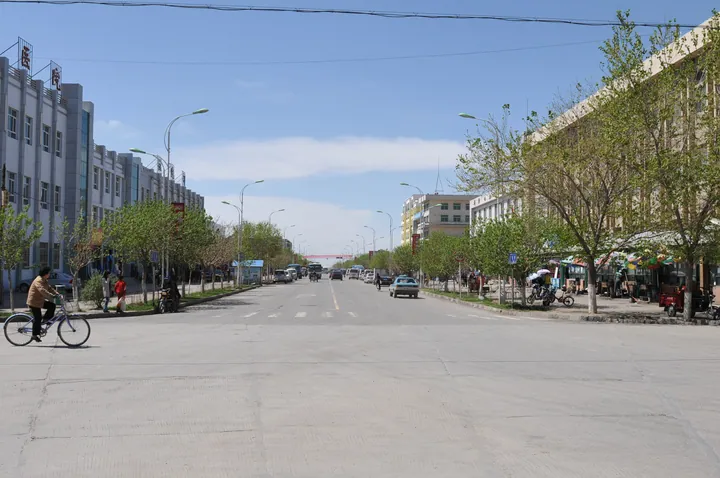
Photo adjustments
Full frame retained; proportionally resized and converted to WebP. No retouching or changes to the photographed subject. Card displays may crop the view.
- Administrative area
- County · 县
- Part of
- Changji Hui Autonomous Prefecture
- Chinese name
- 奇台县
- Local areas
- County guide
Area & population
- Area in the source
- 16,645.00 km²
- Population · 2020
- 219,811
- Administrative seat
- Qitai Town
Source: cited geographic source, as of the dates shown.
Fields following the hills
Jiangbulak lies about forty-five kilometres from the county seat. Wheat grows across rolling hills, turning from green in spring to gold at harvest, while livestock graze the stubble in autumn and snow covers the slopes in winter. Qitai’s traditional farming system matches crops to different elevations and includes wheat, barley, peas and buckwheat.
Cultivation and fallow land
The system combines cropping with grazing on stubble, crop rotation and fallow periods. It entered the Ministry of Agriculture’s China Nationally Important Agricultural Heritage Systems list in November 2015. Jiangbulak’s dry fields are a major component. Yaozhanzi Village (腰站子村), at the foot of the scenic area, extends this agricultural story through wheat processing; a modern flour mill was established there in 2017.
Sources for this guide
江布拉克国家AAAAA级旅游景区_奇台县人民政府 · Qitai County People’s Government
天山麦海在奇台—新闻—科学网 · ScienceNet / China Science Daily
乡村振兴看奇台丨新疆奇台:“小麦之乡”的丰收密码 · Science and Technology Daily
Original English written from the listed sources and checked sentence by sentence against quoted extracts by a separate reviewer. Updated 2026-09-27.
Explore Qitai County
Core places to explore, with English and Chinese names.
Places to explore around Qitai County
 Jiangbulake Scenic Area ·
 Plan your visit
Getting there
Qitai County is about 180 km in a straight line from central Changji Hui Autonomous Prefecture. Search for 奇台县 in a map app to find stations and your accommodation.
Where to stay →Build your route
Start with Jiangbulake Scenic Area. The linked place guides have entrance and visit details.
Continue with Changji Hui Autonomous Prefecture →More in Changji Hui Autonomous Prefecture
Sources & geographic information
Administrative names and parent areas: Official geographic directory · Reference date 2026-09-06.
Photo: Jiangbulake Scenic Area · Source photographer · License not provided. EXIF orientation normalized; resized without changing aspect ratio; converted to WebP. No subject edits.

Map data © OpenStreetMap contributors. Pins mark approximate centres, not entrances or boundaries.