


Get to know Mouding County
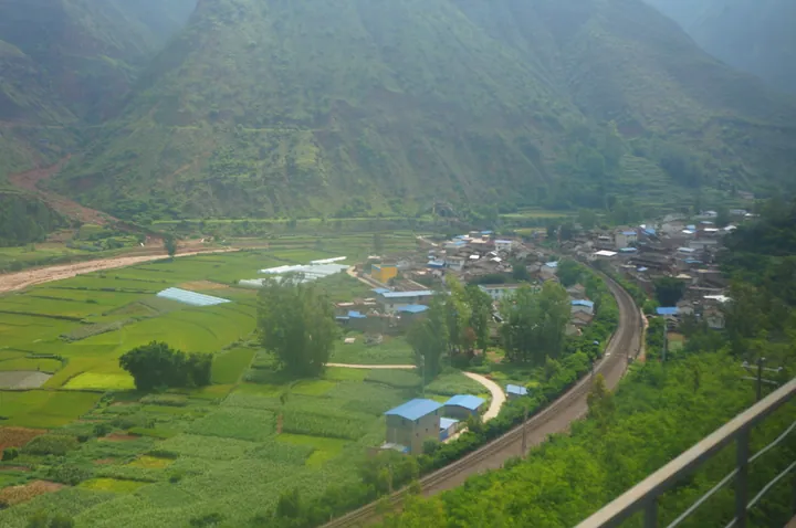
Photo adjustments
Full frame retained; proportionally resized and converted to WebP. No retouching or changes to the photographed subject. Card displays may crop the view.
- Administrative area
- County · 县
- Part of
- Chuxiong Yi Autonomous Prefecture
- Chinese name
- 牟定县
- Local areas
- County guide
Area & population
- Area in the source
- 1,646.00 km²
Source: cited geographic source, as of the dates shown.
Mountain and lakeside villages
Huafo Mountain is in Fengtun Town (凤屯镇). A route down the mountain reaches Qingfeng Village (庆丰村) in Gonghe Town (共和镇), where a lakeside boardwalk follows the water and the village landscape includes tea-themed homestays. Local dishes highlighted for the village include wood-fired chicken, cured pork, wild mushrooms, tofu dishes and meals cooked in copper pots.
Embroidery and music
Sanyue Folk Street (三月风情街) in Yihe Garden (彝和园) presents Yi embroidery and the making of four-stringed instruments. Shuidonggua Poetry Village (水冬瓜诗歌村), in Panmao Township (蟠猫乡), is associated with the origins of Yi left-foot dance. Among Mouding’s local products are oil-preserved fermented bean curd, Huafo tea, copperware and pottery.
Sources for this guide
彝族年去牟定,览秀美风光,享左脚舞狂欢-牟定县人民政府 · Wenlü Toutiao, via Mouding County Government
Original English written from the listed sources and checked sentence by sentence against quoted extracts by a separate reviewer. Updated 2026-09-27.
Explore Mouding County
Core places to explore, with English and Chinese names.
Mouding County 牟定县
Plan your visit
Getting there
Mouding County is about 30 km in a straight line from central Chuxiong Yi Autonomous Prefecture. Search for 牟定县 in a map app to find stations and your accommodation.
Where to stay →More in Chuxiong Yi Autonomous Prefecture
Sources & geographic information
Administrative names and parent areas: Official geographic directory · Reference date 2026-09-06.
Map data © OpenStreetMap contributors. Pins mark approximate centres, not entrances or boundaries.