


Get to know Yongshan County
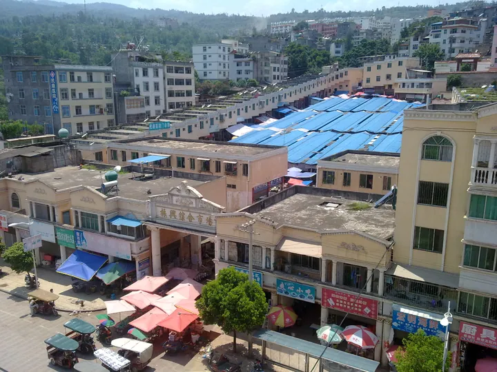
Photo adjustments
Full frame retained; proportionally resized and converted to WebP. No retouching or changes to the photographed subject. Card displays may crop the view.
- Administrative area
- County · 县
- Part of
- Zhaotong
- Chinese name
- 永善县
- Local areas
- County guide
Area & population
- Area in the source
- 2,883.00 km²
Source: cited geographic source, as of the dates shown.
Grassland and wetland
Mount Manan rises to 2,700 metres. Its grassland and cloud views form the setting for the Miao Huashan Festival (苗族花山节), with village visits, songs and dancing. At Paigezi Wetland (派格兹湿地), black-necked cranes come to spend the winter. Makou (码口) has groups of karst caves, while Xisha (细沙) has natural forest.
River heritage and music
The county preserves traces of the old copper-transport route. Other historical sites include the An chieftains’ tombs at Huixi (桧溪安氏土司墓) and the Bo hanging coffins at Fotan (佛滩僰人悬棺). Local performing traditions include the yueqin music of Wuzhai (伍寨月琴), Jinjiang lion dancing (金江狮舞) and Dagu Cao mountain songs (打鼓草山歌).
Sources for this guide
昭通永善倾力打造西部特色旅游名县_文旅头条 · Zhaotong News via Wenlv Toutiao / Yunnan Daily Press Group
Original English written from the listed sources and checked sentence by sentence against quoted extracts by a separate reviewer. Updated 2026-09-27.
Explore Yongshan County
Core places to explore, with English and Chinese names.
Places to explore around Yongshan County
 Manan Mountain Grassland ·
 Plan your visit
Getting there
Yongshan County is about 100 km in a straight line from central Zhaotong. Search for 永善县 in a map app to find stations and your accommodation.
Where to stay →Build your route
Start with Manan Mountain Grassland. The linked place guides have entrance and visit details.
Continue with Zhaotong →More in Zhaotong
Sources & geographic information
Administrative names and parent areas: Official geographic directory · Reference date 2026-09-06.
Photo: Manan Mountain Grassland · Source photographer · License not provided. EXIF orientation normalized; resized without changing aspect ratio; converted to WebP. No subject edits.
Map data © OpenStreetMap contributors. Pins mark approximate centres, not entrances or boundaries.