


Get to know Zhuolu County
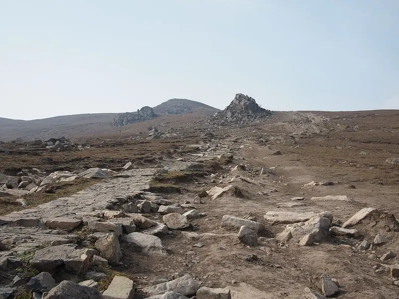
Photo adjustments
Full frame retained; EXIF orientation normalized, proportionally resized to at most 800 pixels and converted to WebP. No generated pixels or subject changes. Cards may crop the display.
- Administrative area
- County · 县
- Part of
- Zhangjiakou
- Chinese name
- 涿鹿县
- Local areas
- County guide
Area & population
- Area in the source
- 2,802.00 km²
- Population · 2020 census
- 294,013
- Administrative seat
- Zhuolu Town
Source: cited geographic source, as of the dates shown.
History
The county government, following the Shiji (史记) and other early texts, places the battles of Zhuolu (涿鹿之战) and Banquan (阪泉之战) here about 4,700 years ago, after which the Yellow Emperor (黄帝) is said to have united the tribes at Mount Fu (釜山). The name Zhuolu first appears in the Bamboo Annals (竹书纪年), which record Yan besieging the town and the king of Zhao coming to its relief. Counties were set up here under the Western Han. In 1338, after an earthquake, the Yuan renamed Fengsheng prefecture (奉圣州) as Bao'an prefecture (保安州). Bao'an became a county in 1913 and, to avoid confusion with Bao'an in Shaanxi, was renamed Zhuolu in 1914.
The writer Ding Ling (丁玲) set her novel The Sun Shines over the Sanggan River (太阳照在桑干河上), about land reform in Wenquantun (温泉屯), here; it won the Stalin Prize, and she used her prize money to found a farmers' cultural station in the village.
What to see
The Huangdi City site (黄帝城遗址), also called the old city of Zhuolu, is an irregular square about 510 to 540 metres by 450 to 500 metres, with walls of layered earth topped by rammed earth; it is a Hebei provincial protected site, and stone axes and pottery have been found there. The county government calls it the first capital in Chinese history. Huangdi Spring (黄帝泉), the ancient Banquan, is a cold spring that does not freeze in winter; its overflow feeds Xuanyuan Lake (轩辕湖). The Hall of the Three Ancestors (中华三祖堂), 200 metres north of the spring, was rebuilt in 1994 on the site of an old Yellow Emperor shrine and modelled on the Tang hall of Foguang Temple (佛光寺); it holds 6-metre clay statues of the Yellow Emperor, the Yan Emperor (炎帝) and Chiyou (蚩尤). Mituo Temple (弥陀寺), also called Henan Temple, dates from the Jin dynasty's Huangtong years (1141–1148). The Sanggan River National Wetland Park (桑干河国家湿地公园), approved in 2017, has recorded 146 bird species.
Food and local products
The Sanggan and Yang rivers meet in the Sanggan–Yang basin, which the county government ranks among the largest quality grape-growing areas in North China; grapes and apricot kernels are the county's leading farm products. Zhuolu longan grapes (涿鹿龙眼葡萄) and Zhuolu millet are on the national list of named quality farm products.
Getting oriented
The county town is 75 kilometres from Zhangjiakou. The Beijing–Tibet (G6) and Beijing–Xinjiang (G7) expressways and National Highways 109 and 110 cross the county.
Highlights
- Huangdi City site 黄帝城遗址: Rammed-earth walled site linked by tradition to the Yellow Emperor; Hebei provincial protected site.
- Hall of the Three Ancestors 中华三祖堂: Rebuilt in 1994 after the Tang hall of Foguang Temple, with statues of the Yellow Emperor, Yan Emperor and Chiyou.
- Mituo Temple 弥陀寺: Also called Henan Temple; founded in the Jin dynasty's Huangtong years (1141–1148).
- Zhuolu longan grapes 涿鹿龙眼葡萄: On the national list of named quality farm products.
Sources for this guide
涿鹿概况 · Zhuolu County People's Government, Zhangjiakou
涿鹿历史沿革 · Zhuolu County People's Government, Zhangjiakou
涿鹿人文旅游 · Zhuolu County People's Government, Zhangjiakou
Original English written from the listed sources and checked sentence by sentence against quoted extracts by a separate reviewer. Updated 2026-09-24.
Explore Zhuolu County
Core places to explore, with English and Chinese names.
Zhuolu County 涿鹿县
Plan your visit
Getting there
Zhuolu County is about 55 km in a straight line from central Zhangjiakou. Search for 涿鹿县 in a map app to find stations and your accommodation.
Where to stay →More in Zhangjiakou
Sources & geographic information
Administrative names and parent areas: Official geographic directory · Reference date 2026-09-06.
Map data © OpenStreetMap contributors. Pins mark approximate centres, not entrances or boundaries.