


Get to know Oroqen Autonomous Banner
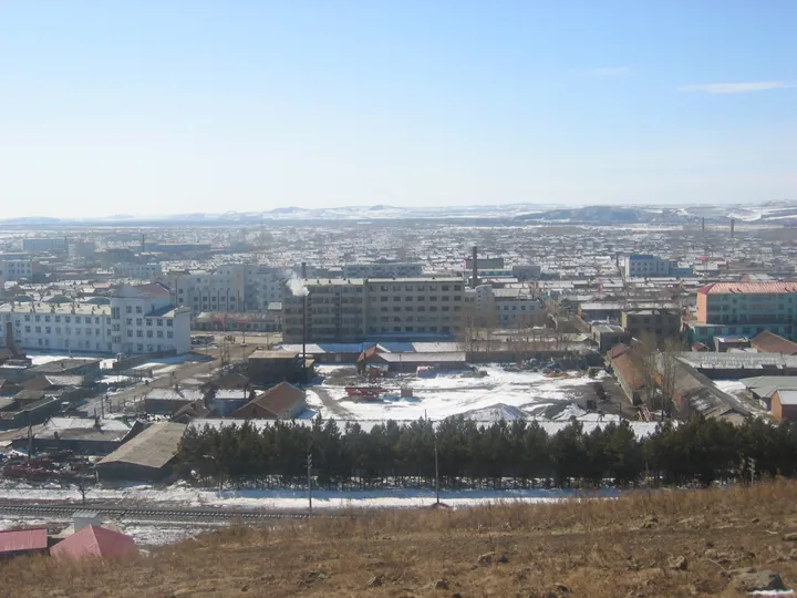
Photo adjustments
Full frame retained; proportionally resized and converted to WebP. No retouching or changes to the photographed subject. Card displays may crop the view.
- Administrative area
- Autonomous banner · 自治旗
- Part of
- Hulunbuir
- Chinese name
- 鄂伦春自治旗
- Local areas
- Autonomous banner guide
Area & population
- Area in the source
- 60,378.00 km²
- Population · 2020
- 174,023
- Administrative seat
- Alihe (Ali Gol)
Source: cited geographic source, as of the dates shown.
Setting and landscape
The Yilehuli Mountains (伊勒呼里山) form the northern border with Huma County (呼玛县) in Heilongjiang, and to the east the banner faces Nenjiang (嫩江市) across the river. Its main rivers, the Gan (甘河), Nuomin (诺敏河) and Duobukur (多布库尔河) among them, all drain to the right bank of the Nen. The climate is cold-temperate, with a frost-free season of about 95 days. Chinese Wikipedia counts about 192 bird species, among them white and black storks, golden eagles, black-billed capercaillie and red-crowned cranes. Jiagedaqi (加格达奇区) and Songling (松岭区), inside the banner, are administered by Heilongjiang's Da Hinggan Ling Prefecture.
What to see
Gaxian Cave (嘎仙洞) lies about 10 kilometres north of Alihe in a granite cliff on the north bank of the Gan River. The natural chamber runs more than 90 metres north to south and rises over 20 metres. In July 1980 archaeologists found a 201-character inscription in 19 lines on its west wall, carved in 443 when Emperor Taiwu of the Northern Wei (北魏太武帝) sent the official Li Chang (李敞) to sacrifice to his ancestors. Its content agrees with the account in the Book of Wei (魏书), and it identifies the cave as the ancestral stone chamber of the Tuoba Xianbei (拓跋鲜卑) that the book mentions. The cave is a nationally protected site, and the Tuoba Xianbei History and Culture Park (拓跋鲜卑历史文化园) was named a regional intangible-heritage tourism base in 2023.
Duobukur Hunter Village (多布库尔猎民村), one of the banner's seven hunter villages, began when Oroqen of the Duobukur River valley settled in 1951; since 2005 it has stood 4 kilometres west of Dayangshu (大杨树).
Oroqen culture
The banner government glosses "Oroqen" as "people of the mountain ridges". Oroqen hunters followed game along the rivers and lived in the xianrenzhu (仙人柱), a frame of several dozen birch or willow poles about 9 metres long, leaned together at the top like a half-open umbrella and covered with birch bark, reeds or cloth in summer and animal hides in winter. The seat facing the door, the "malu" (玛路), is the place of honour. Three Oroqen traditions are on the national intangible-heritage list: birch-bark craft (2006), roe-deer-skin craft and the Zandaren (赞达仁) songs (both 2008). The banner government describes its Oroqen Intangible Heritage Museum (鄂伦春非遗馆) as the only museum in China devoted to Oroqen intangible heritage.
Highlights
- Gaxian Cave 嘎仙洞: Granite cave with a Northern Wei inscription of 443 identifying it as the Tuoba Xianbei ancestral chamber; nationally protected.
- Tuoba Xianbei History and Culture Park 拓跋鲜卑历史文化园: Named a regional intangible-heritage tourism base in 2023.
- Duobukur Hunter Village 多布库尔猎民村: Oroqen hunter village settled in 1951, moved near Dayangshu in 2005.
- Oroqen birch-bark craft 桦树皮制作技艺: Listed as national intangible heritage in 2006.
Sources for this guide
鄂伦春自治旗 - 维基百科,自由的百科全书 · Chinese Wikipedia · CC BY-SA 4.0
魅力城市-鄂伦春自治旗人民政府 · Oroqen Autonomous Banner People's Government
嘎仙洞遗址 - 维基百科,自由的百科全书 · Chinese Wikipedia · CC BY-SA 4.0
鄂伦春自治旗非物质文化遗产情况-鄂伦春自治旗人民政府 · Oroqen Autonomous Banner People's Government
古老神奇的嘎仙洞-鄂伦春自治旗人民政府 · Oroqen Autonomous Banner People's Government
鄂伦春族居住场所“仙人柱”-鄂伦春自治旗人民政府 · Oroqen Autonomous Banner People's Government
多布库尔猎民村-鄂伦春自治旗人民政府 · Oroqen Autonomous Banner People's Government
Original English written from the listed sources and checked sentence by sentence against quoted extracts by a separate reviewer. Updated 2026-09-26.
Explore Oroqen Autonomous Banner
Core places to explore, with English and Chinese names.
Places to explore around Oroqen Autonomous Banner
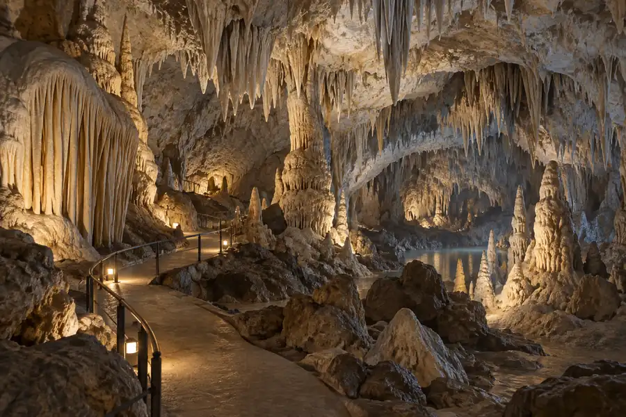 AI illustration · AI 示意图(仅供参考,非该地点实拍)
Gaxian Cave嘎仙洞
Granite cliff cave in Oroqen Banner with a Northern Wei inscription of 443 naming it the ancestral shrine of the Tuoba Xianbei; found in 1980.
Read the place guide →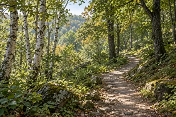 AI illustration · AI 示意图(仅供参考,非该地点实拍)
Darbin Lake Forest Park达尔滨湖森林公园
Darbin Lake Forest Park brings together dark volcanic rock fields, forest and wild Dahurian rhododendrons on the southeastern slopes of the Greater Khingan Range.
Read the place guide →Plan your visit
Getting there
Oroqen Autonomous Banner is about 320 km in a straight line from central Hulunbuir. Search for 鄂伦春自治旗 in a map app to find stations and your accommodation.
Where to stay →Build your route
Gaxian Cave and Darbin Lake Forest Park are both listed here. The linked place guides have entrance and visit details.
Continue with Hulunbuir →More in Hulunbuir
Sources & geographic information
Administrative names and parent areas: Official geographic directory · Reference date 2026-09-06.
Some facts checked against 鄂伦春自治旗 — Wikipedia contributors, CC BY-SA 4.0.
Some facts checked against 嘎仙洞遗址 — Wikipedia contributors, CC BY-SA 4.0.
Map data © OpenStreetMap contributors. Pins mark approximate centres, not entrances or boundaries.